Skip to content
VineyardHistory
The archive

Gallery

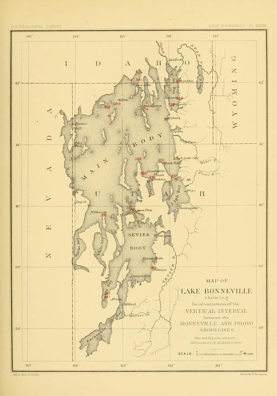
Map of Lake Bonneville showing the vertical interval between the Bonneville and Provo shorelines at points around the old lake, from Gilbert's 1890 monograph (Plate XLVIII).
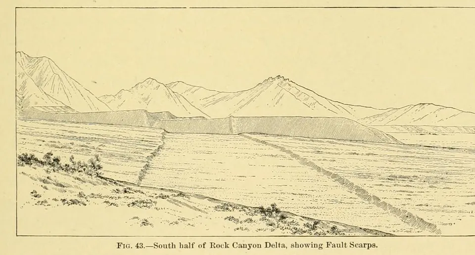
Sketch of the south half of the Rock Canyon delta at Provo, a Lake Bonneville delta at the mouth of Rock Canyon cut by fault scarps along the foot of the Wasatch, from Gilbert's Lake Bonneville (Fig. 43).
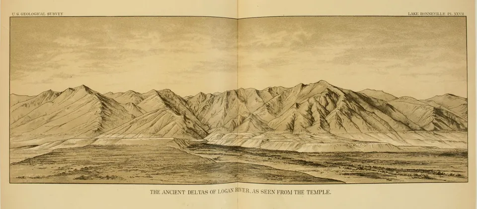
The ancient deltas of the Logan River, built into Lake Bonneville at the mouth of Logan Canyon, as seen from the Logan Temple, a panorama from Gilbert's Lake Bonneville (Plate XXVII).
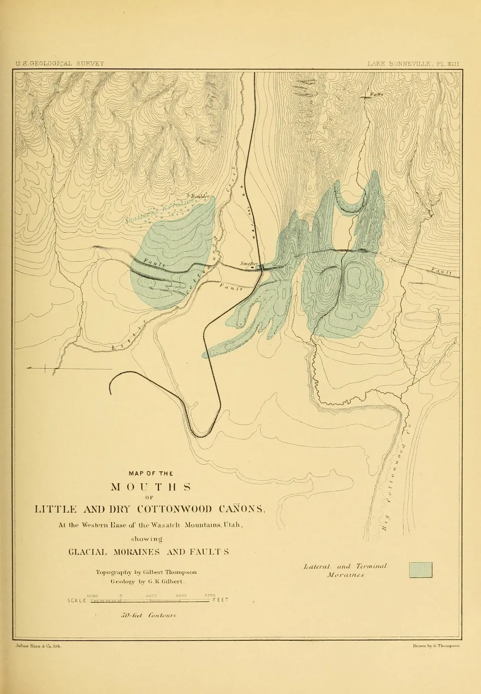
Gilbert's map of the mouths of Little and Dry Cottonwood canyons in the Salt Lake Valley, showing where glacial moraines met the Lake Bonneville shore and where faults cross them (Plate XLII).
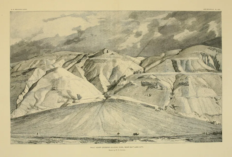
Fault scarp crossing an alluvial cone near Salt Lake City, with the benches of Lake Bonneville on the mountainside above, drawn for Gilbert's Lake Bonneville (Plate XLIV).
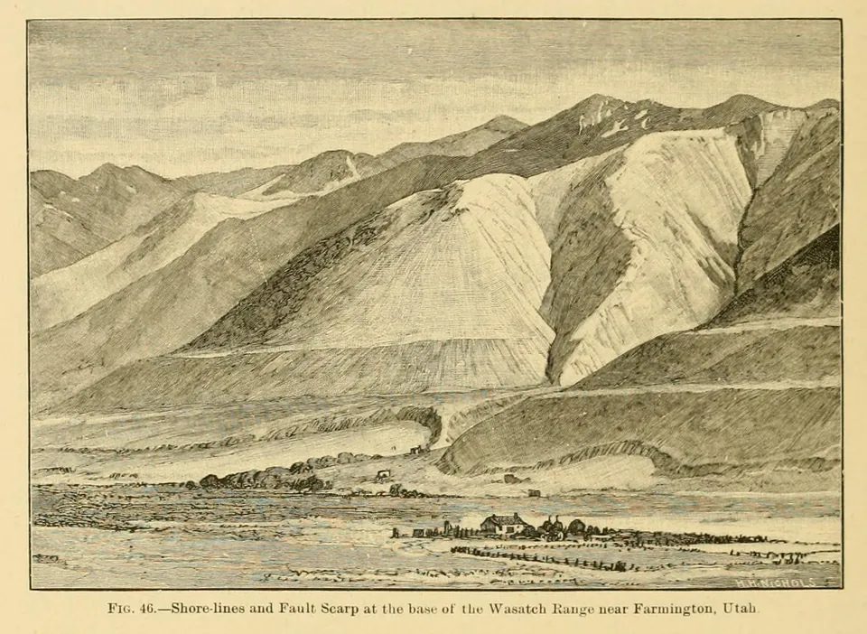
Gilbert's Fig. 46, a sketch of old Lake Bonneville shore lines and a fault scarp at the base of the Wasatch Range near Farmington in Davis County, from his 1890 monograph Lake Bonneville.
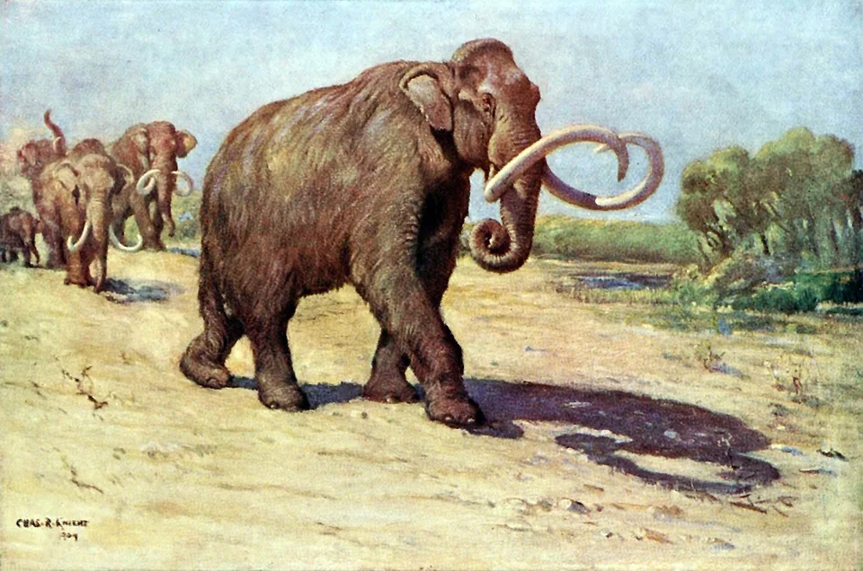
Columbian mammoths, the kind that grazed the shores of Lake Bonneville, painted by Charles R. Knight.
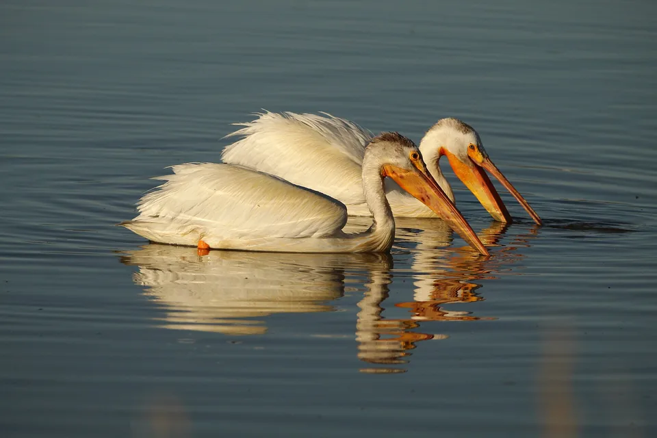
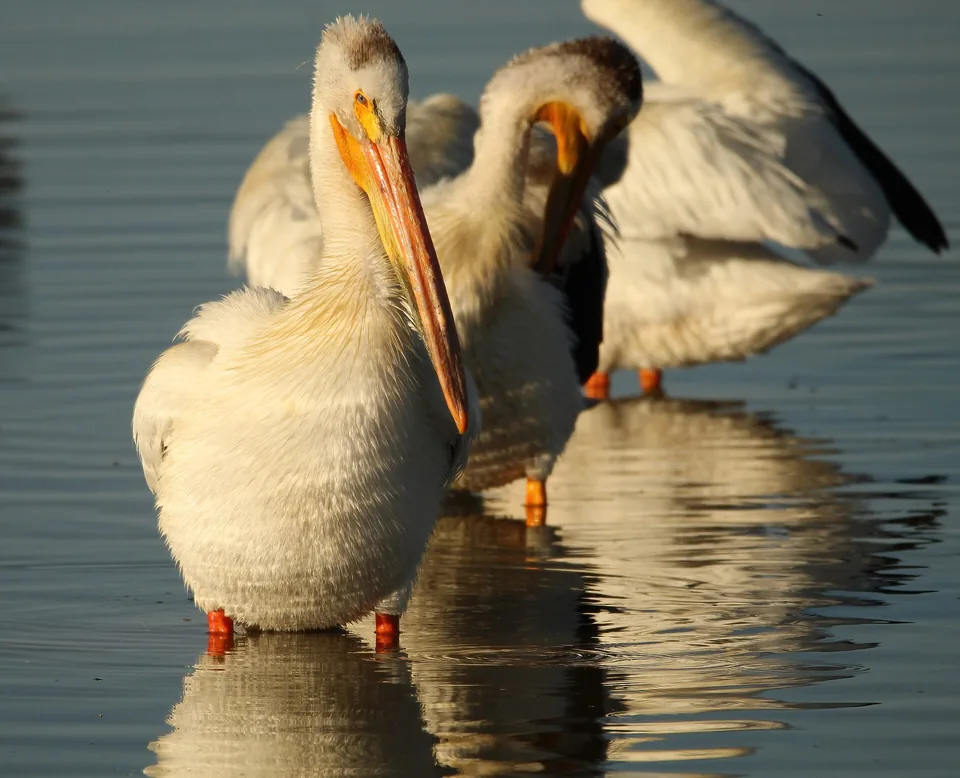
American white pelicans feeding together at sunset at the Bear River refuge, Utah. Pelicans from the Great Salt Lake colony fish Utah Lake every summer.
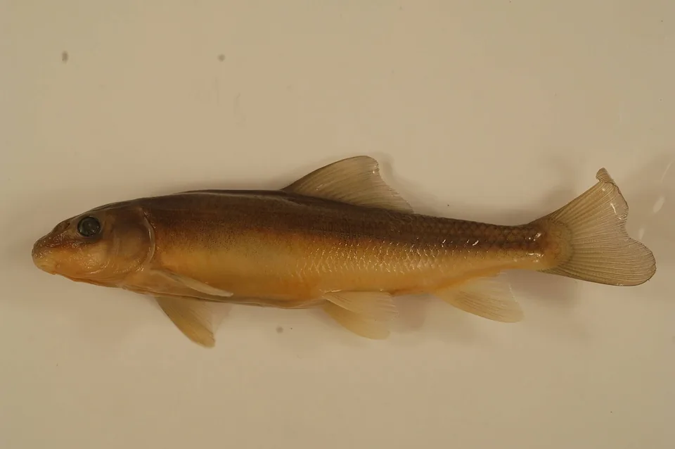
The June sucker, a fish found only in Utah Lake, which spawns up the Provo River beside Vineyard.
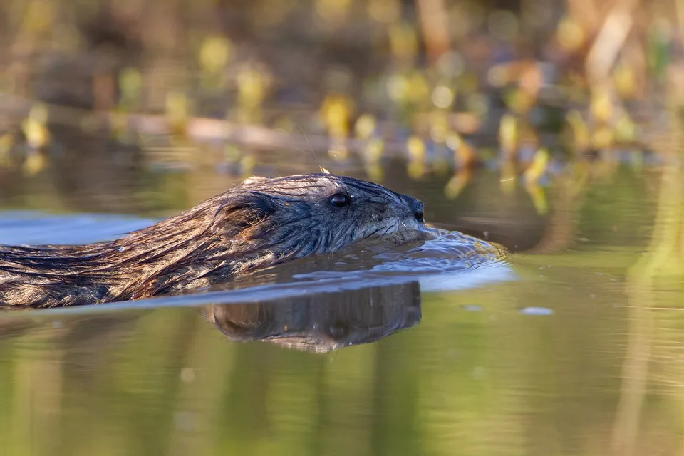
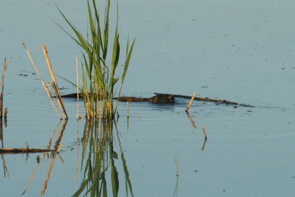
A muskrat swimming through a marsh. Generations of Vineyard boys trapped muskrats along the lakeshore and sold the pelts.
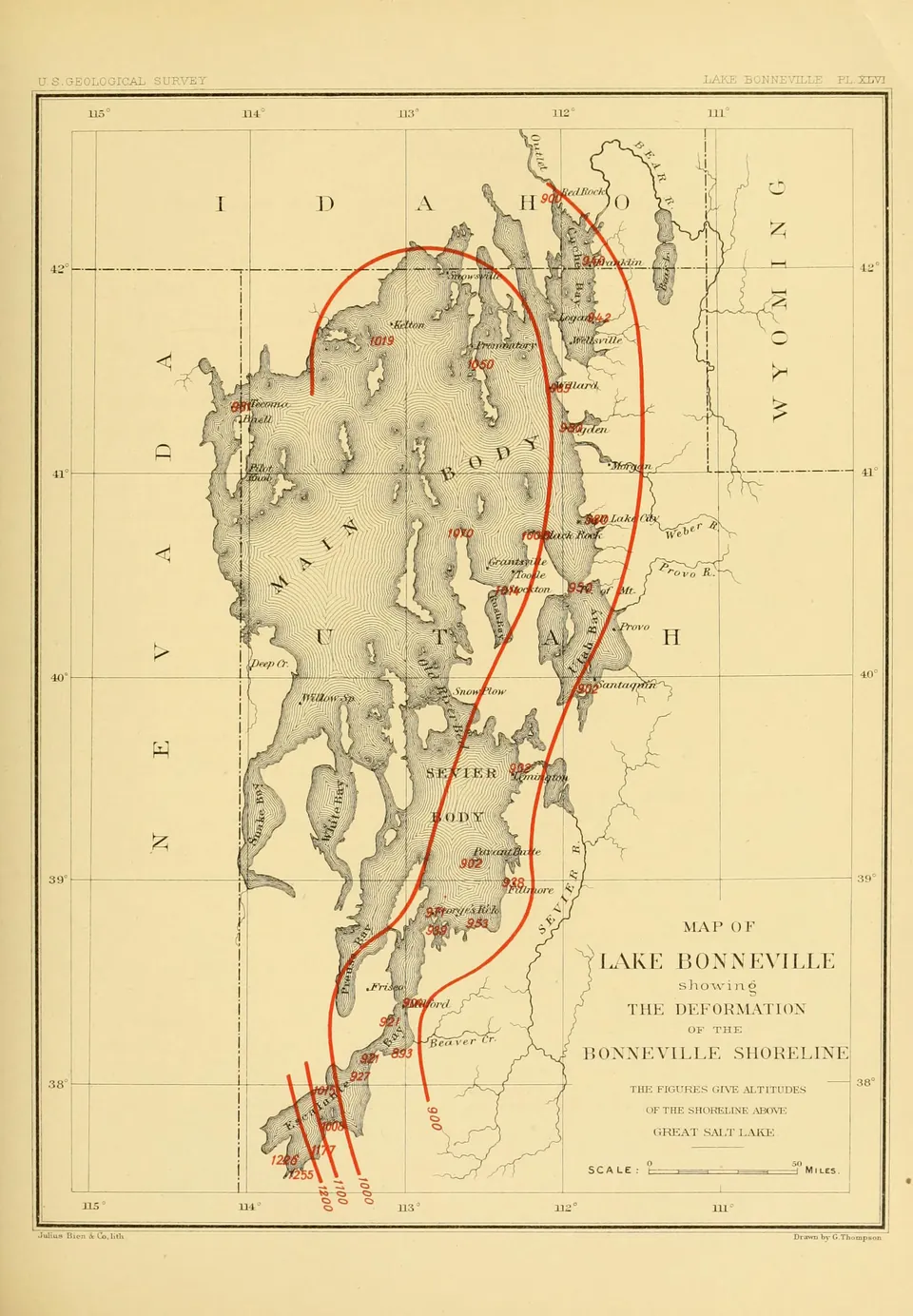
Gilbert's map of Lake Bonneville with contour lines showing how the Bonneville shoreline has been warped upward since the lake dried, highest near the center of the old lake (Plate XLVI).
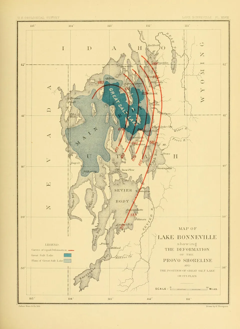
Gilbert's map of the deformation of the Provo shoreline, the lower Lake Bonneville shore that forms the benches of Utah Valley, with contours of later uplift (Plate XLVII).
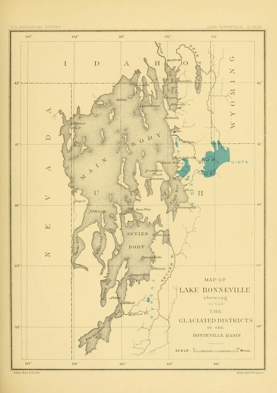
Gilbert's map of the Bonneville basin marking the mountain districts, mostly in the Wasatch and Uinta ranges, that held glaciers while the lake was high (Plate XLIX).
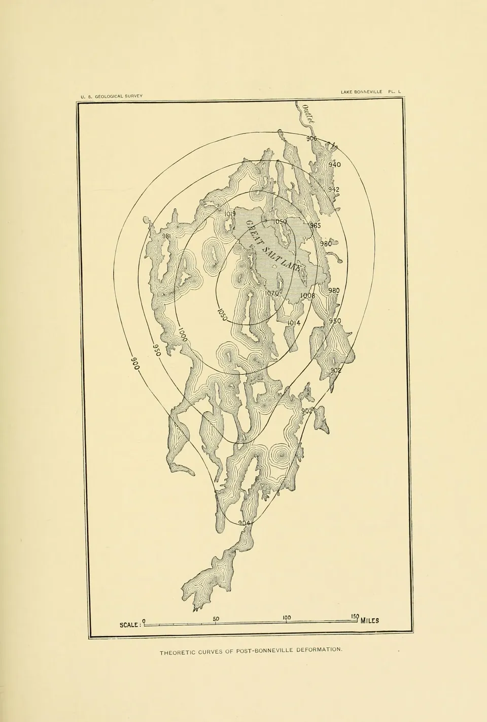
Gilbert's theoretic curves of post Bonneville deformation, drawn as rings over the outline of the old lake to model how the land rose as the water's weight was removed (Plate L).
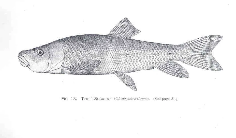
The June sucker as drawn for David Starr Jordan's survey of the fishes of North America in the late 1800s.
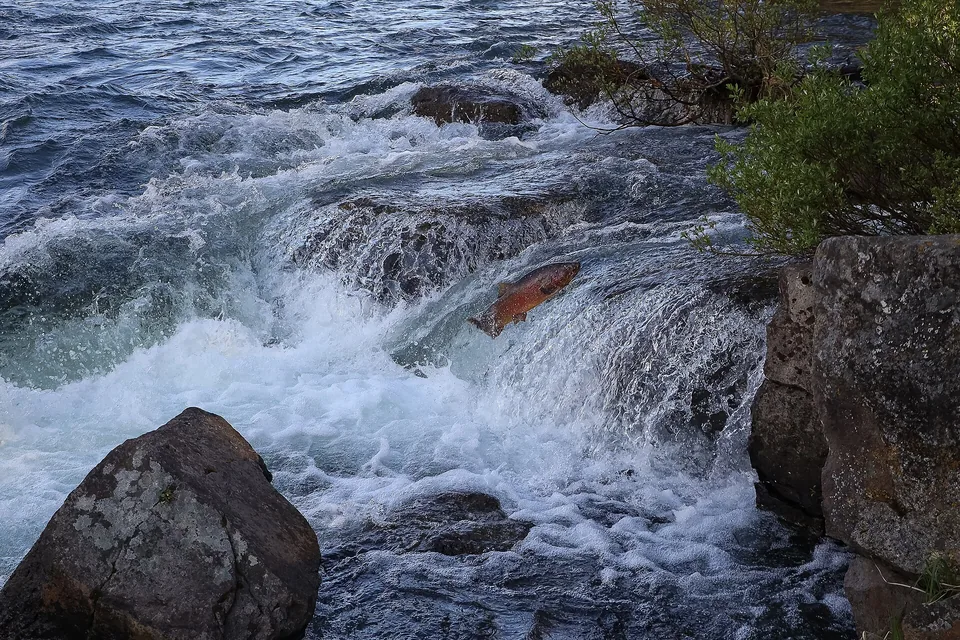
A cutthroat trout leaps up a rapid. Utah Lake's own cutthroat, the Bonneville strain, once ran up the Provo River the same way.
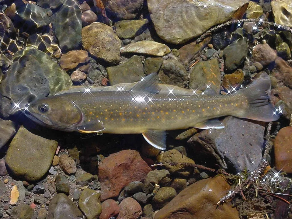
A bull trout. Its bones turn up in the last layers of Lake Bonneville, though it no longer lives anywhere in the basin.
Common carp, brought to Utah County in the 1880s, which went on to become the most common fish in Utah Lake.
American white pelicans in the shallows at the Bear River refuge in northern Utah.
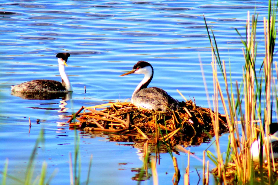
Western grebes at a floating nest among the reeds. Grebes have nested on Utah's lakes since the last days of Lake Bonneville.
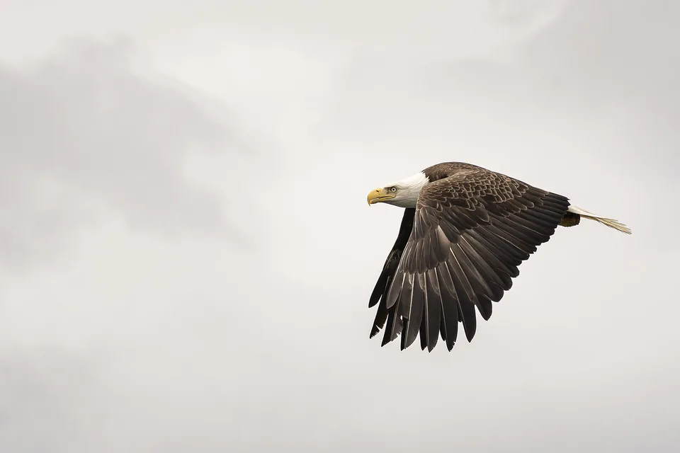
A bald eagle in flight. Bald eagles winter along Utah Lake and the Provo River every year.
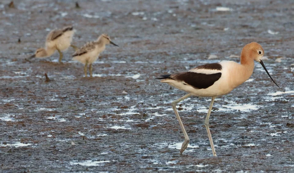
An American avocet with young on the mudflats, a summer sight along Utah Lake's shallow shore.
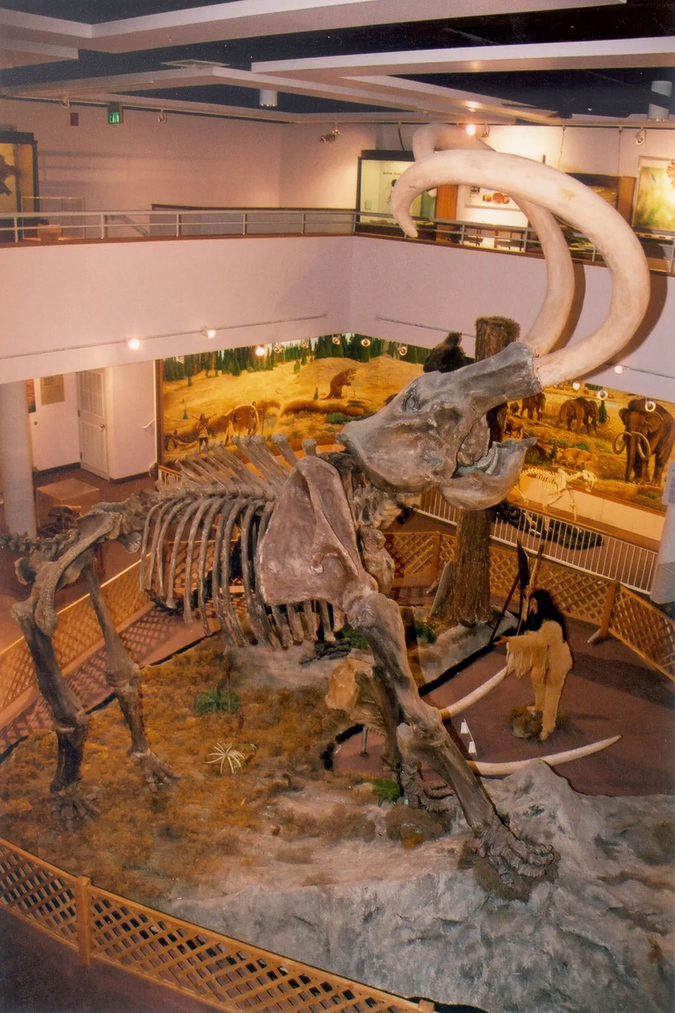
The Huntington Mammoth, a Columbian mammoth found high in Utah's Wasatch Plateau in 1988, on display at the prehistoric museum in Price.
A beaver swimming among the reeds. Father Escalante counted beavers among the lake's creatures in 1776.
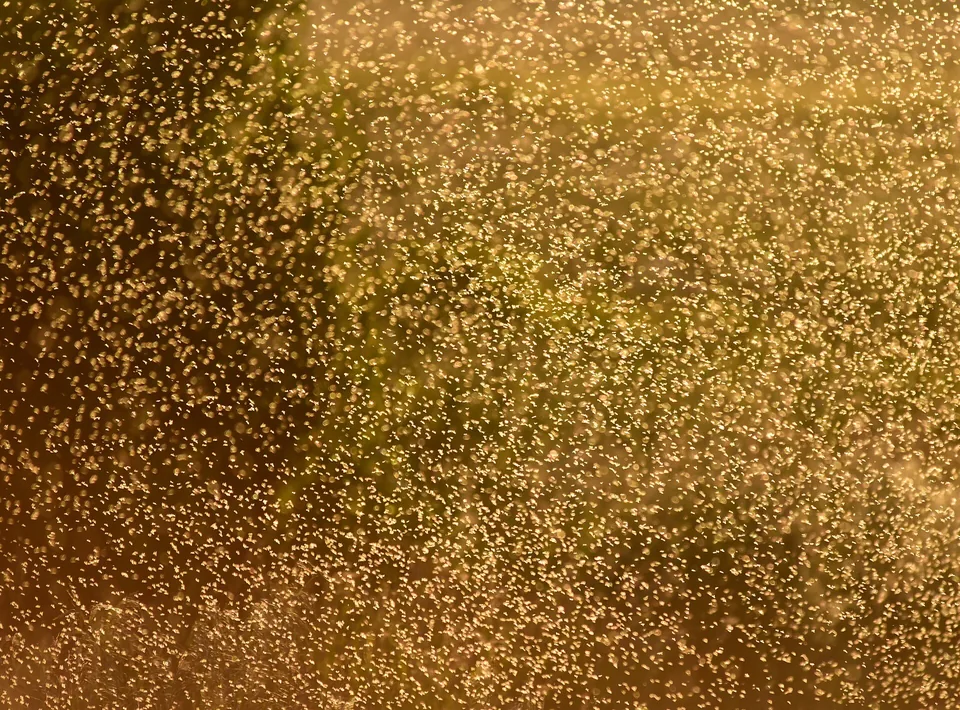
A swarm of non-biting midges over a wetland. Midges rise from Utah Lake by the billions every spring.
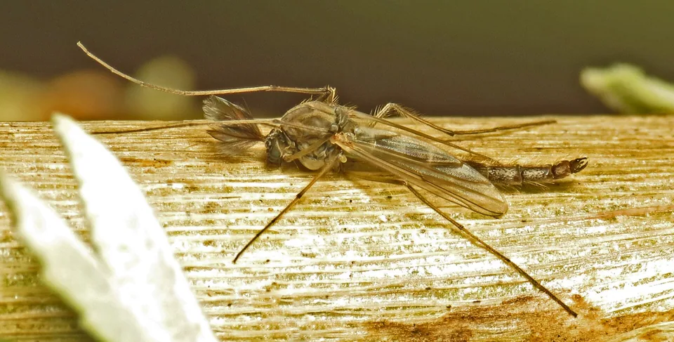
A male chironomid midge, the harmless lake fly. Its larvae are among the most common animals on the bottom of Utah Lake.
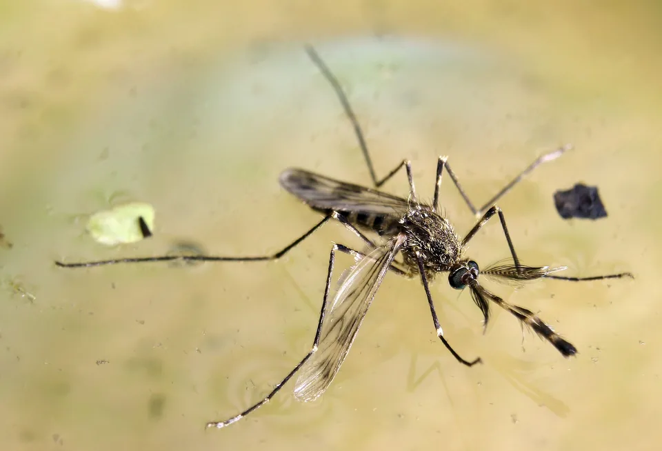
Culex tarsalis, a marsh mosquito of the West that can carry West Nile virus.
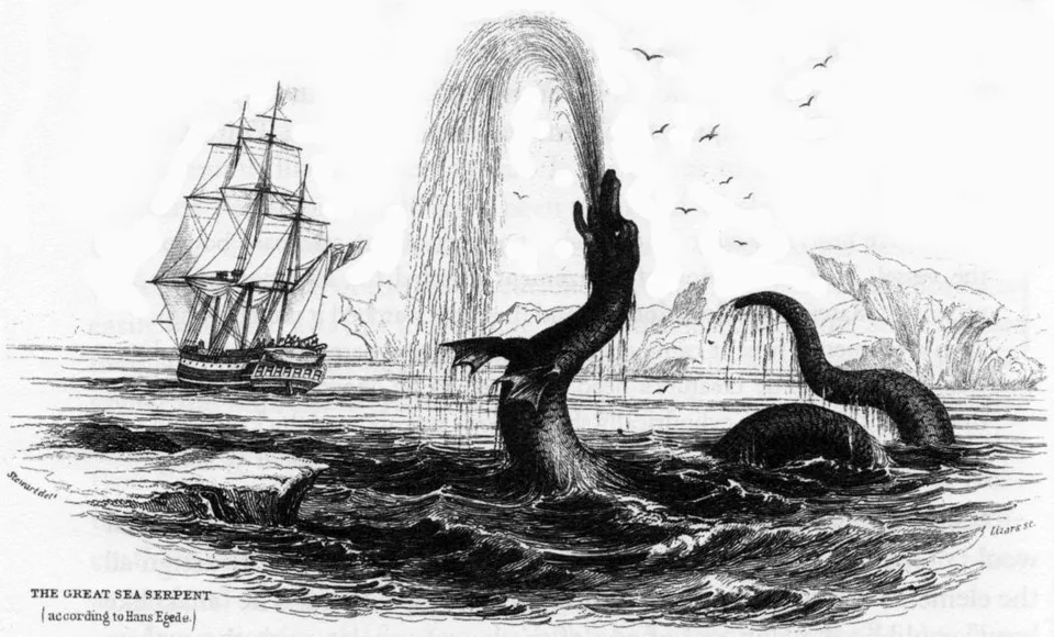
A sea serpent as described by the missionary Hans Egede off Greenland in 1734, in a later engraving. Drawings like this shaped what settlers expected a lake monster to look like.
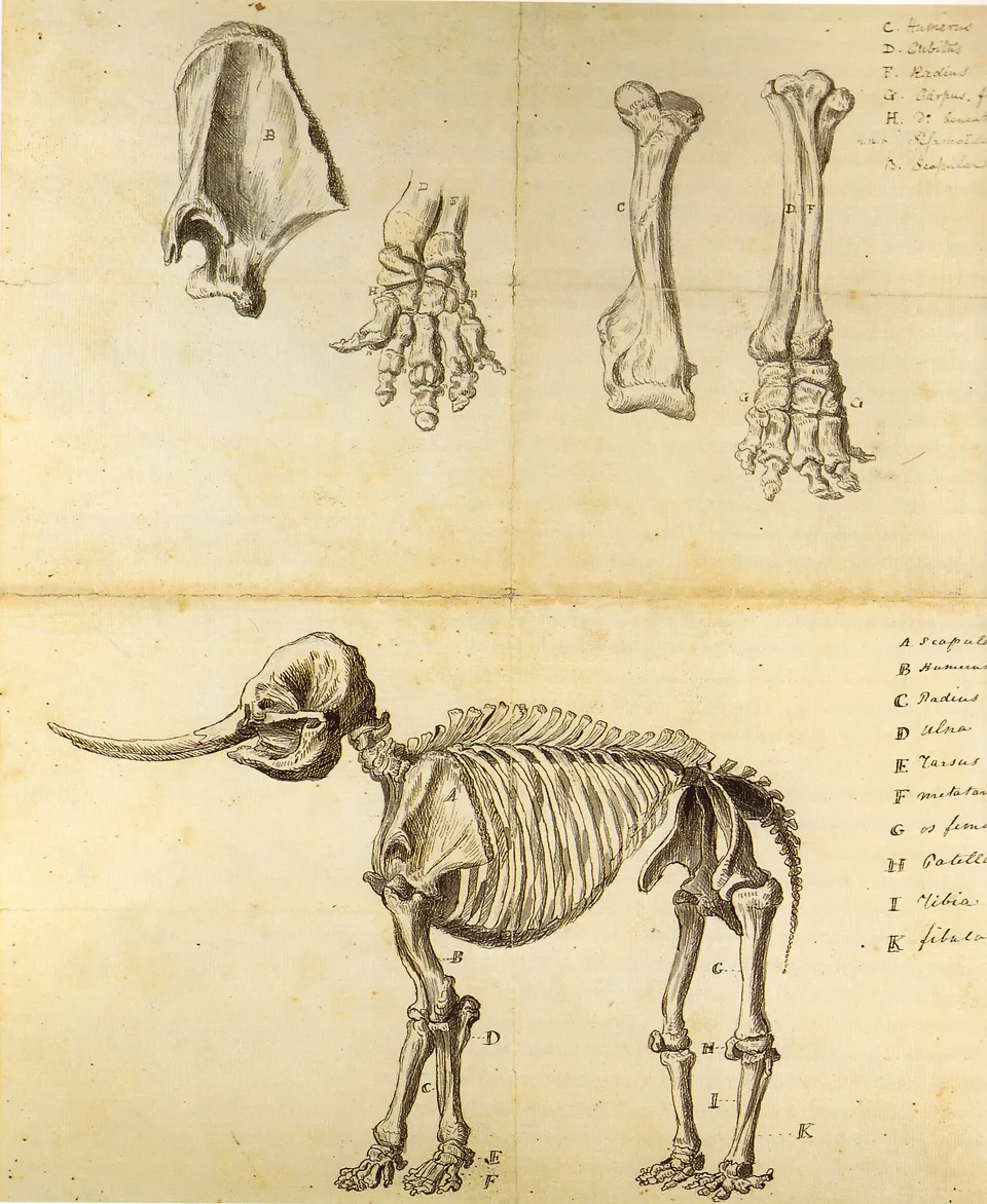
Rembrandt Peale's 1801 sketch of a mastodon skeleton dug up in New York. The tusked skull found on the Utah Lake shore in 1870 was most likely from an animal like this.
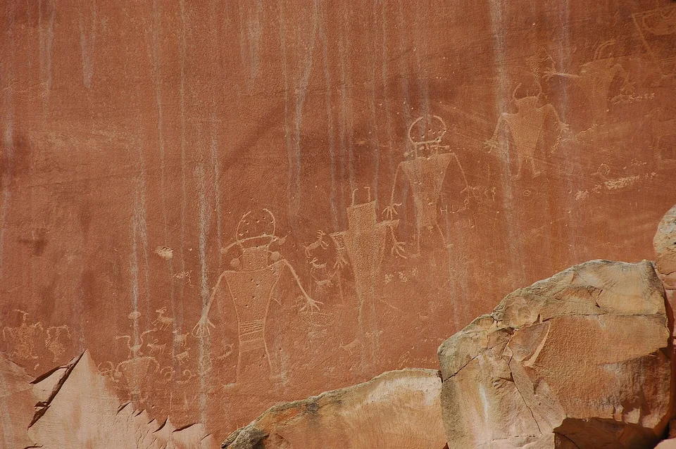
Fremont petroglyphs at Capitol Reef National Park. The Fremont people who farmed beside Utah Lake carved figures in this same style across Utah.
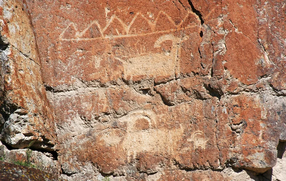
Bighorn sheep, deer and other animals pecked into rock by Fremont people, Fremont Indian State Park, Utah. Bighorn sheep, snakes and hunters are also carved on the boulders west of Utah Lake.
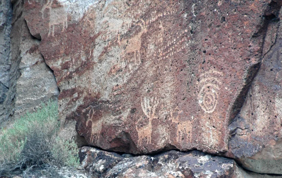
A Fremont rock art panel with circles and figures, Fremont Indian State Park, Utah. Fremont people carved panels like this between about 400 and 1350 A.D.
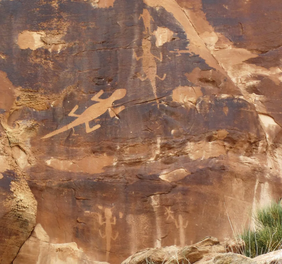
Fremont lizard petroglyphs at Dinosaur National Monument in eastern Utah.
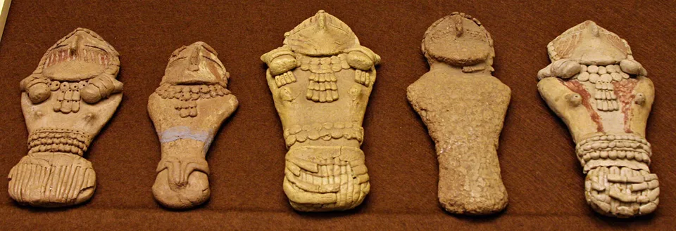
Fremont clay figurines found in Range Creek, Utah, now at the Prehistoric Museum in Price. Twenty clay figurines were also found at the Hinckley Mounds by Utah Lake between 1956 and 1960.
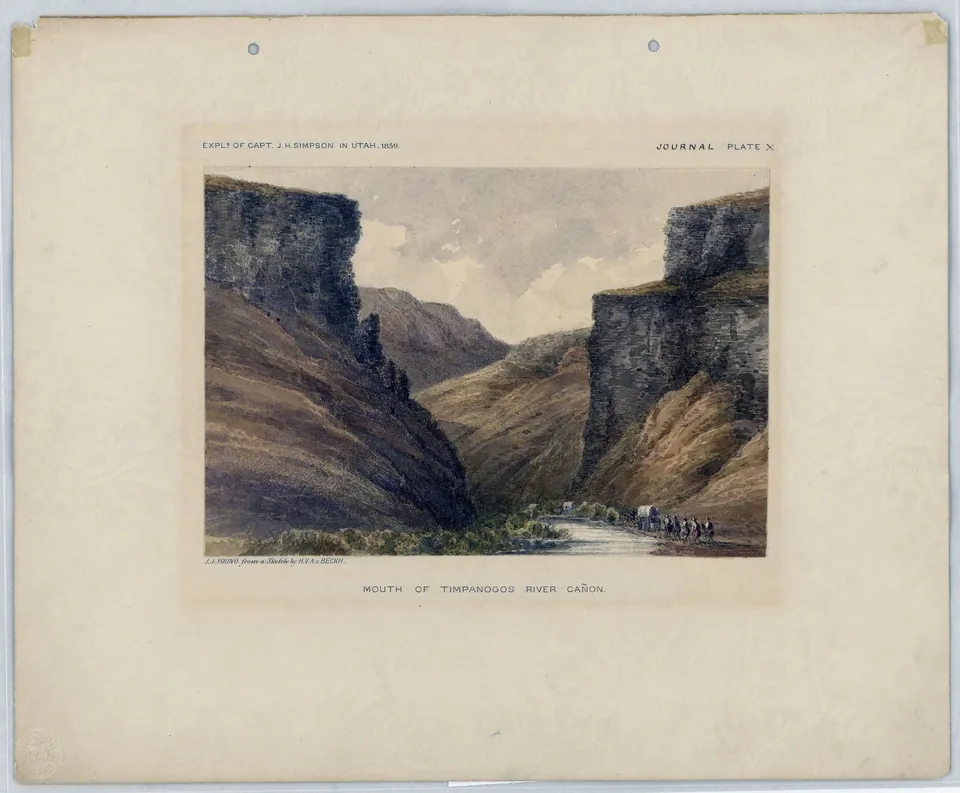
A hand colored plate of a wagon party at the mouth of the Timpanogos River canyon, the old name for the Provo River where it leaves the Wasatch Range for Utah Valley, from Captain J. H. Simpson's 1859 survey.
Bernardo de Miera y Pacheco's map from the expedition, 1778, with Laguna de los Timpanogos
"Father Escalante Discovers Utah Lake, 1776", mural in the Utah State Capitol dome, 1934
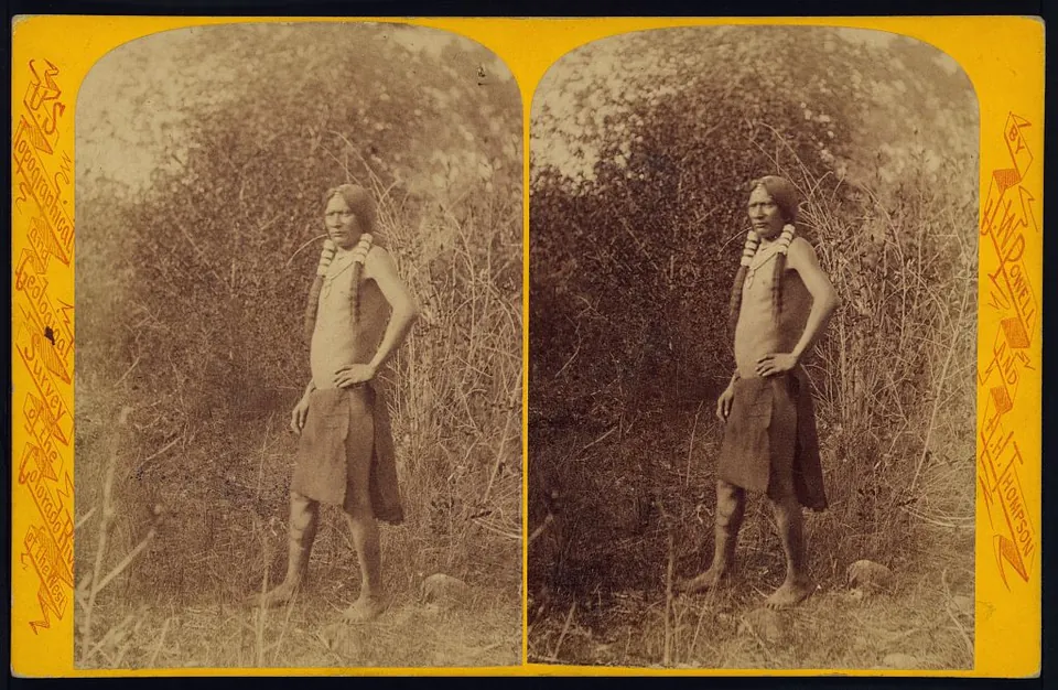
A Uinta Ute man titled The Messenger, noted on the back of the card as 'The Runner', photographed by John K. Hillers for the Powell survey. Stereograph card.
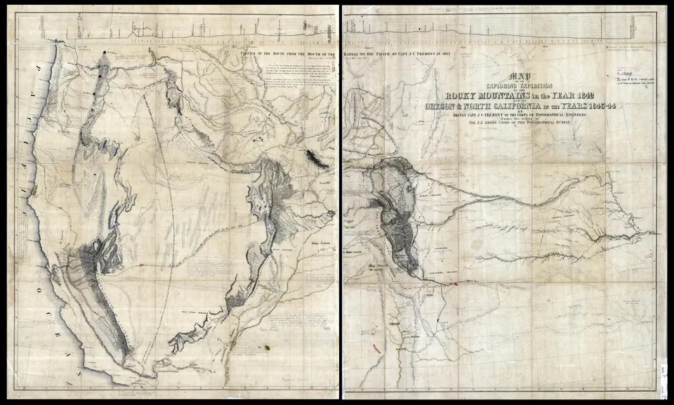
Map of John C. Frémont's 1842 to 1844 expeditions, drawn by Charles Preuss. Frémont's 1844 return route passes Utah Lake, shown south of the Great Salt Lake. This copy carries handwritten notes by George Gibbs adding Jedediah Smith's routes.
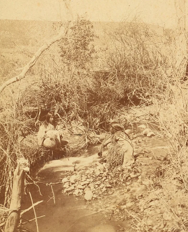
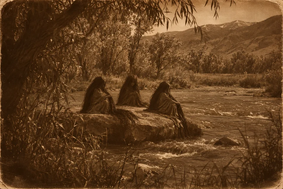
Uinta Ute women at a spring, photographed by John K. Hillers for the Powell survey in the early 1870s. Springs like this were where the Water Babies were said to call.
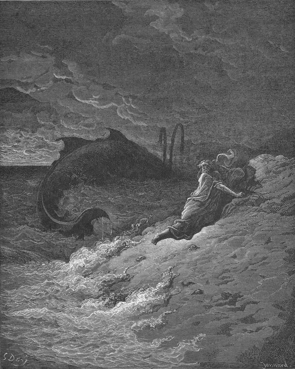
Jonah cast up by the great fish, an engraving by Gustave Doré, 1866. William S. Robinson heard the Utah Lake fish story as a boy and thought of Jonah.
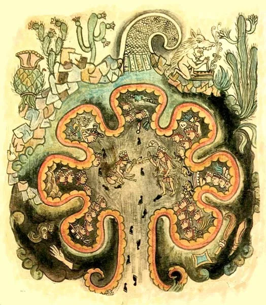
Chicomoztoc, the Place of Seven Caves, from the Historia Tolteca Chichimeca, a Nahua manuscript of the 1500s. The peoples of Mexico said their ancestors came from seven caves near a great lake in the north.
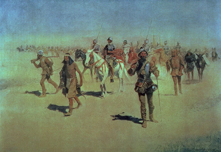
Coronado Sets Out to the North, painted by Frederic Remington in the 1890s. Coronado's expedition of 1540 heard of a rich lake country far to the north.
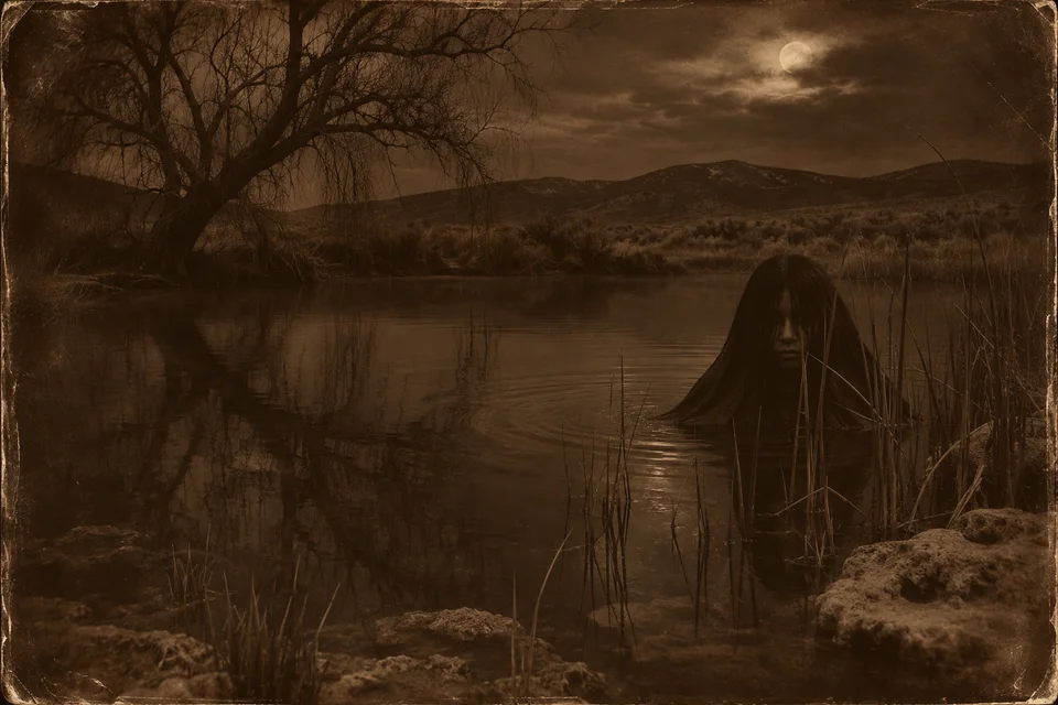
An illustration of a Water Baby rising in a spring at night, drawn from the way Ute storytellers described them: long black hair, half hidden in the reeds.
An illustration of what John Duncan, Red Sunrise, said he saw as a boy: Water Babies drying their long hair on a flat rock in the Provo River.
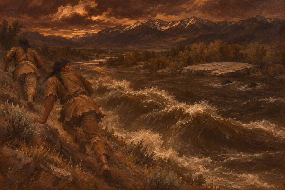
An illustration of the end of Red Sunrise's story: the Water Babies gone under, and the river rising after the two boys.
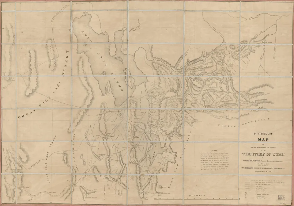
Captain J. H. Simpson's preliminary map of the routes his Army topographical party scouted and opened across the Territory of Utah in 1858, centered on Utah Lake and the Great Salt Lake.
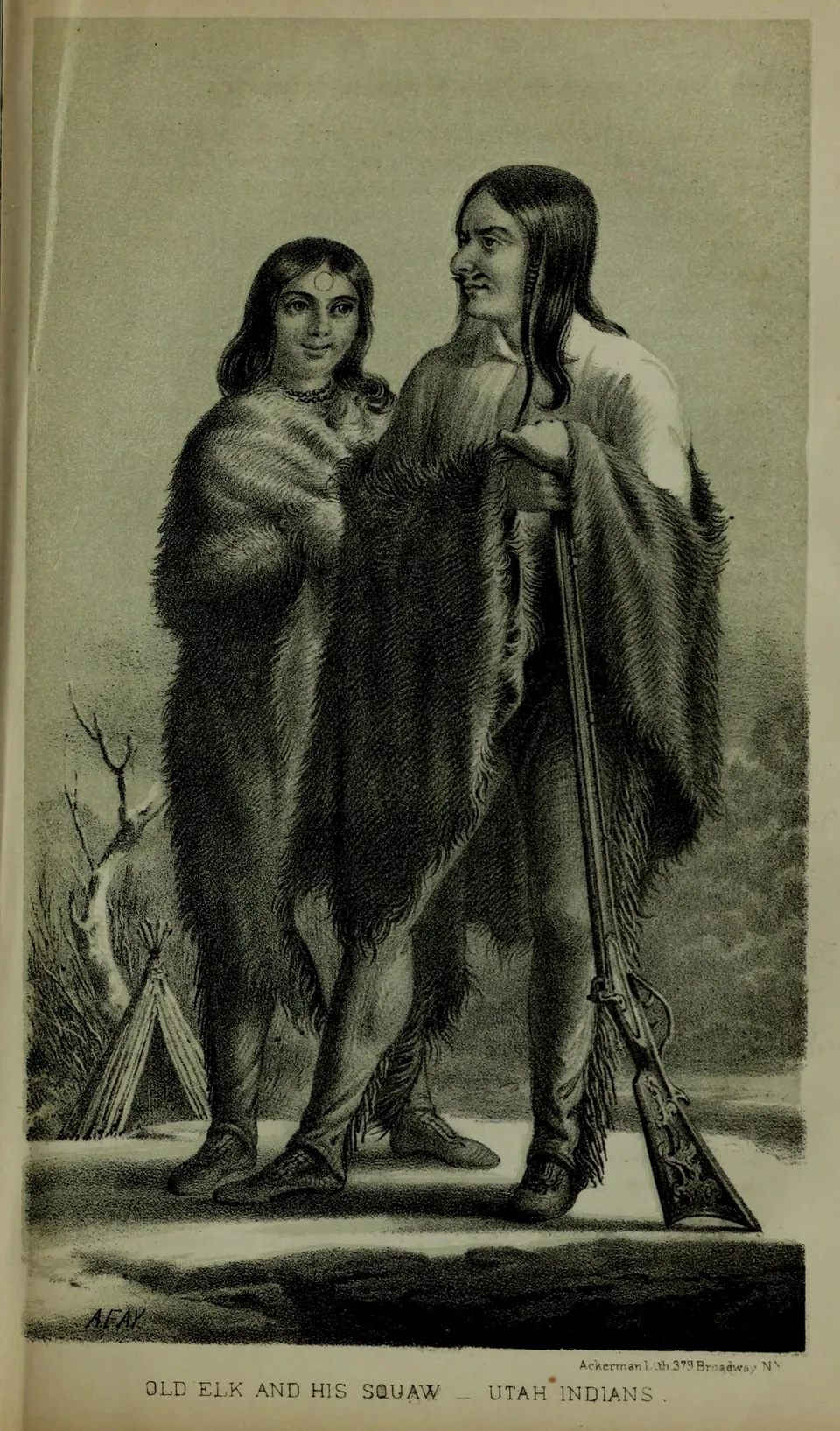
Lithograph of Old Elk and his wife, identified on the plate as Utah Indians, from Howard Stansbury's 1852 report on the Great Salt Lake valley. Old Elk was a Ute leader in Utah Valley at the time of the 1850 fighting near Fort Utah.
Spanish Fork Indian Farm, early 1860s
Utah valley farms, 1941
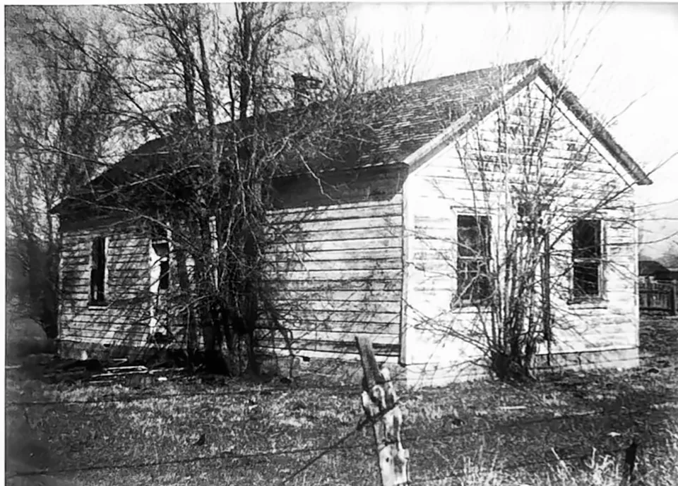
The Little Blue Schoolhouse, Vineyard's first school, built in 1883, as it looked around the 1890s.
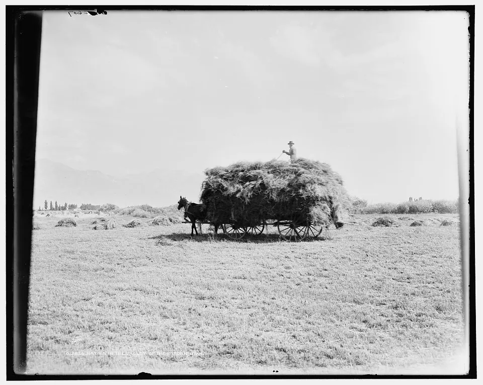
A horse drawn wagon piled with hay in a field in the Jordan River valley, Utah, photographed by William Henry Jackson for the Detroit Publishing Company.
Great Salt Lake City in 1850, drawn for Howard Stansbury's survey
Fort Utah, the first settlement in Provo, 1849, as painted by Samuel Hans Jepperson
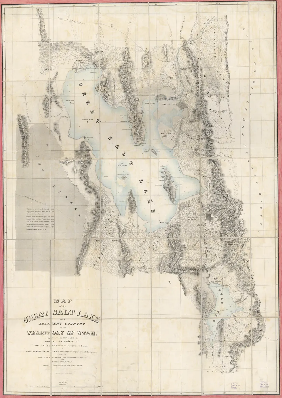
Map of the Great Salt Lake and Utah Lake valleys from Captain Howard Stansbury's 1849 and 1850 survey, drawn by Lieutenant John W. Gunnison and Charles Preuss. Utah Lake, Provo and the Timpanogos River appear at lower right.
Fort Utah on the Provo River, 1850
Utah valley farms, 1940
Ute riders crossing a river
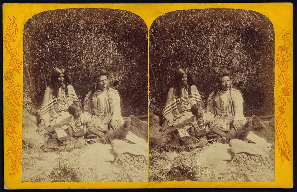
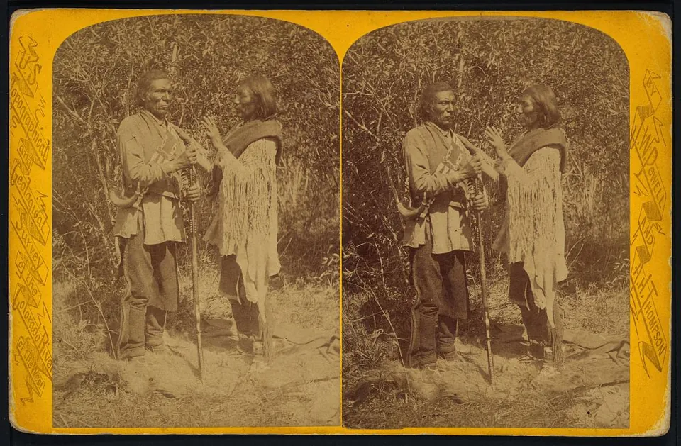
Sai ar and his family, Uinta Utes, seated outdoors in a photograph by John K. Hillers for the Powell survey. Stereograph card.
"Ute warrior", photographed by John K. Hillers, 1874
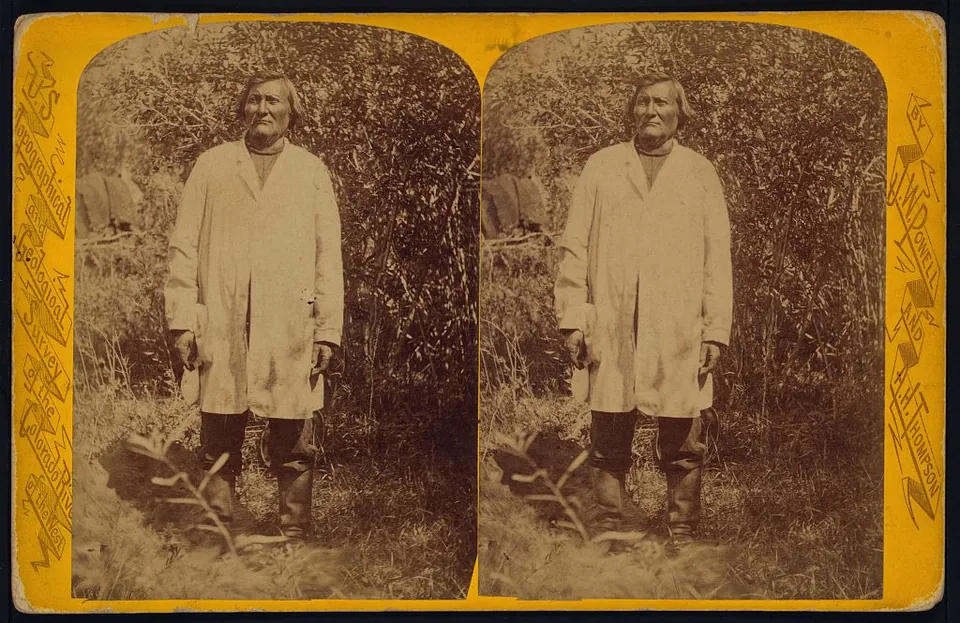
Ta vah puts, named on the card as chief of the Uinta Utes, photographed by John K. Hillers for the Powell survey of the Colorado River country. Stereograph card.
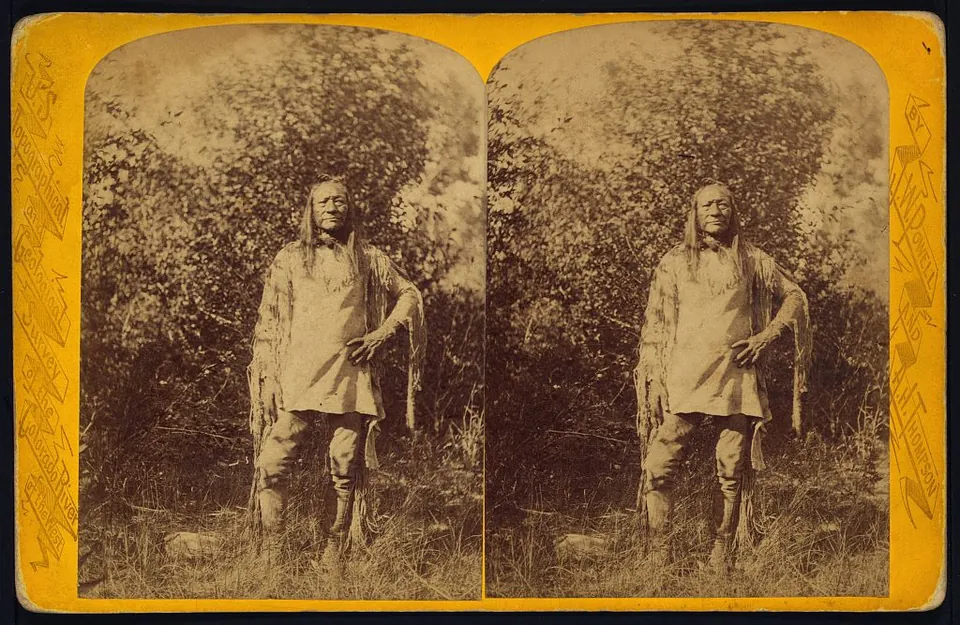
An te ro, named on the card as war chief of the Uinta Utes, photographed by John K. Hillers for the Powell survey. Stereograph card.
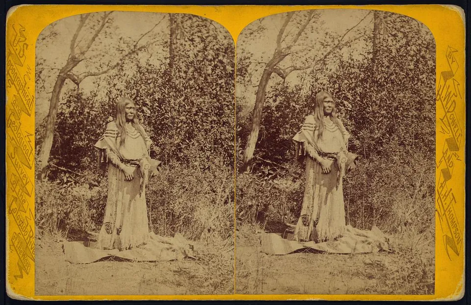
Tau ruv, wife of Won ro an, in full dress, from John K. Hillers's Powell survey series on the Uinta Utes of the Uinta Valley, Utah. Stereograph card.
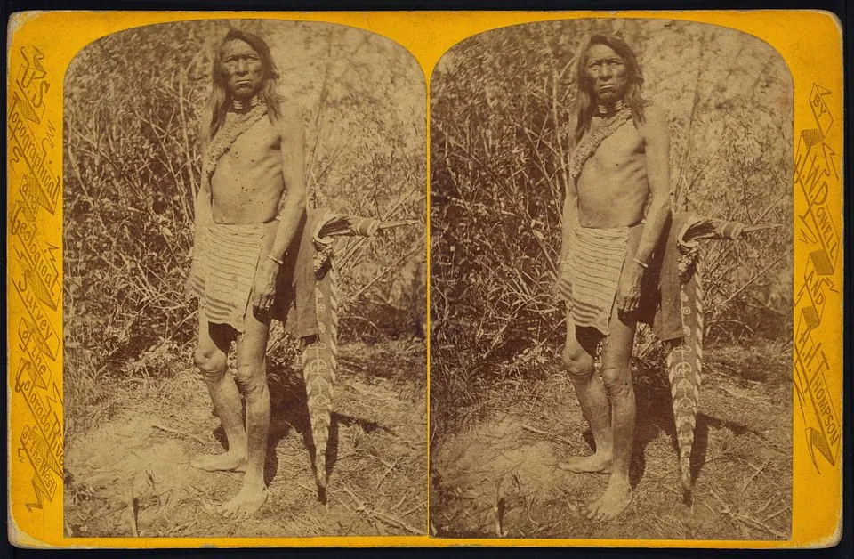
Pah ri ats in summer costume, from John K. Hillers's Powell survey series on the Uinta Utes of the Uinta Valley, Utah. Stereograph card.
Two Uinta Utes titled Indians Counting, from John K. Hillers's Powell survey series made in the Uinta Valley, Utah. Stereograph card.
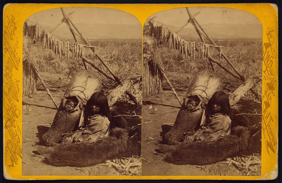
A Uinta Ute mother with her baby in a cradleboard, seated on a hide beneath a drying rack, from John K. Hillers's Powell survey series made in the Uinta Valley, Utah. Stereograph card titled Babe in Cradle.
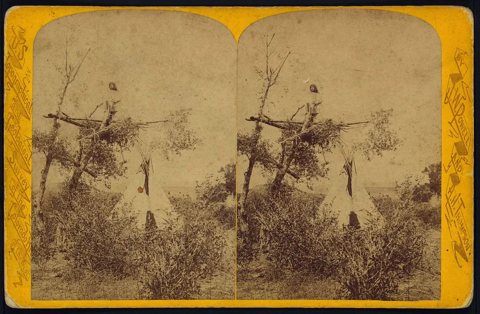
A Uinta Ute camp with a lodge among brush and a lookout figure in a tree, titled The Watch Tower, from John K. Hillers's Powell survey series. Stereograph card.
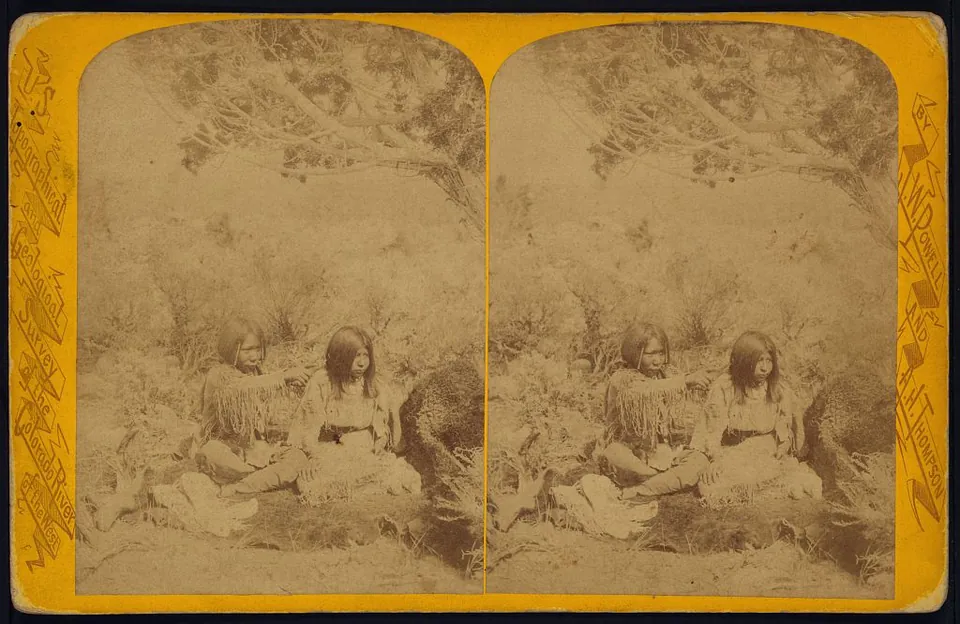
Two young Uinta Utes seated on the ground under a tree, titled Boy and Girl, from John K. Hillers's Powell survey series. Stereograph card.
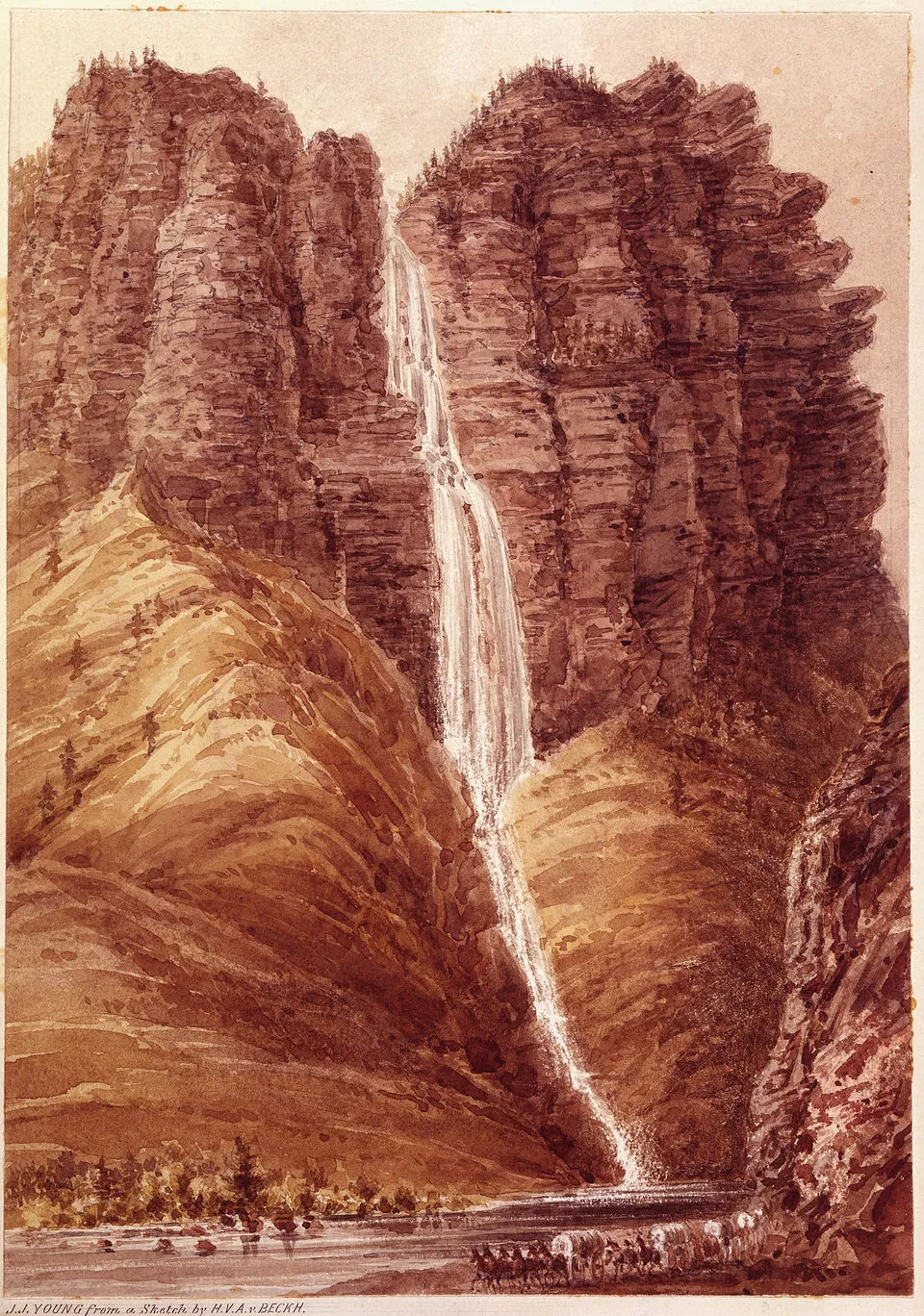
Lithograph after a sketch by John J. Young, 1859, of a tall waterfall in the Timpanogos River canyon, today Provo Canyon, with a wagon train passing below. Plate XI of Captain J. H. Simpson's 1859 Utah report.
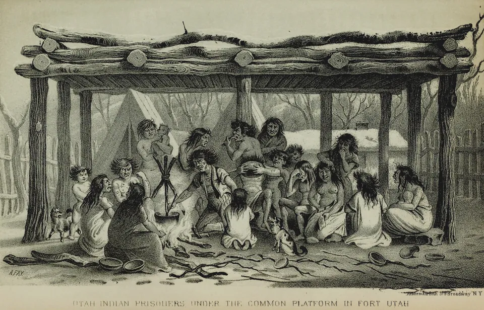
Lithograph after a drawing by A. Fay of Ute women and children held as prisoners under the common platform inside Fort Utah after the 1850 fighting on the Provo River, from Howard Stansbury's survey report.
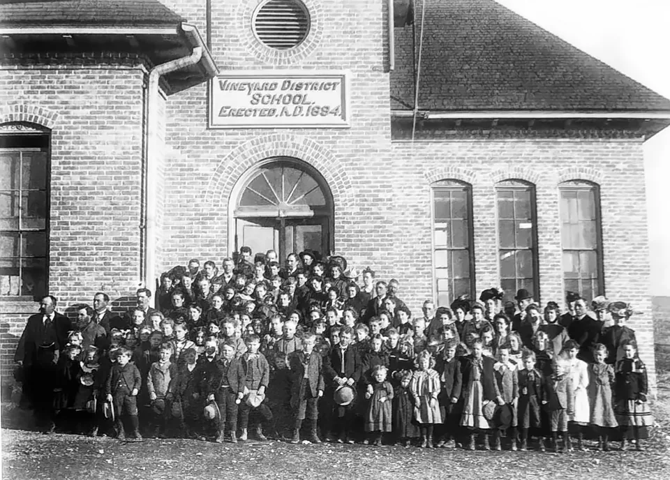
Students in front of the red brick Vineyard District School, around the 1900s.
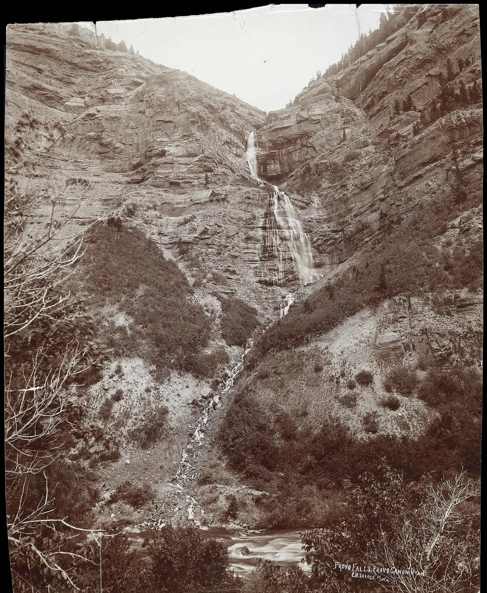
Provo Falls in Provo Canyon, photographed by C. R. Savage around 1888. The Provo River runs from this canyon to Utah Lake.
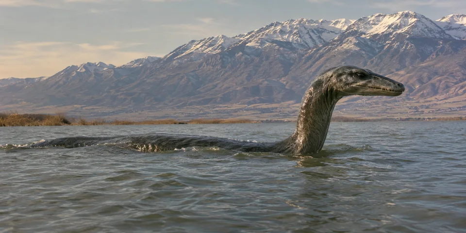
An illustration of the Utah Lake Monster surfacing below the Wasatch, drawn from the way witnesses described it. No photograph of the creature exists.
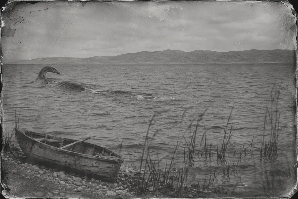
An illustration in the style of an old tintype: a long shape moving across Utah Lake, the way Bishop Price described what he saw from the west shore in 1871.
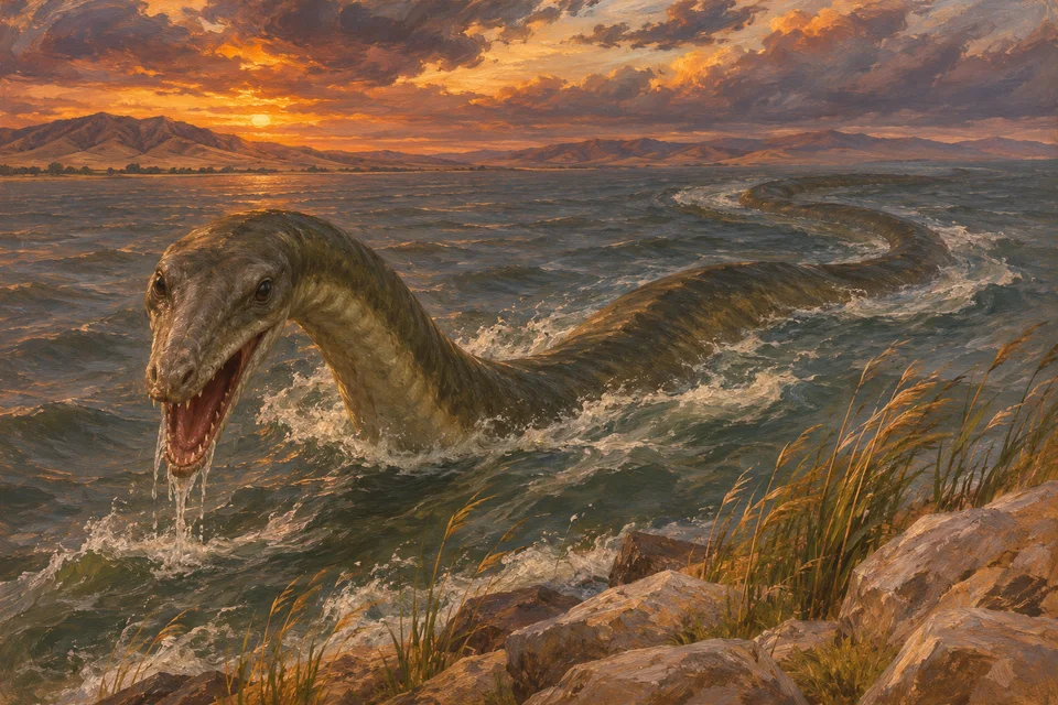
An illustration of the creature the Provo boys described in 1880, with a long head and a wide mouth like an alligator's.
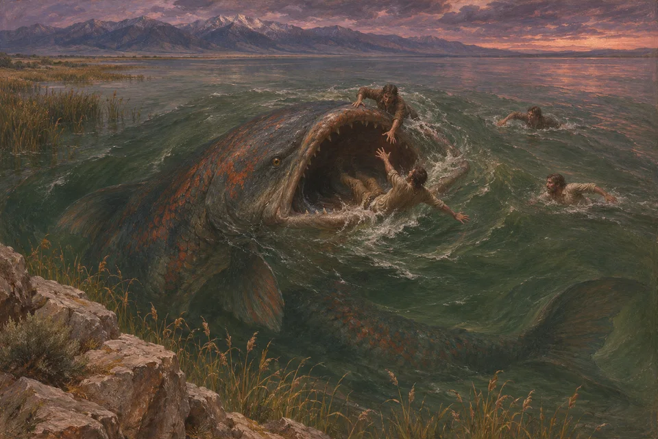
An illustration of the giant fish of Utah Lake from the story told to William S. Robinson. No one knows what the storyteller pictured.
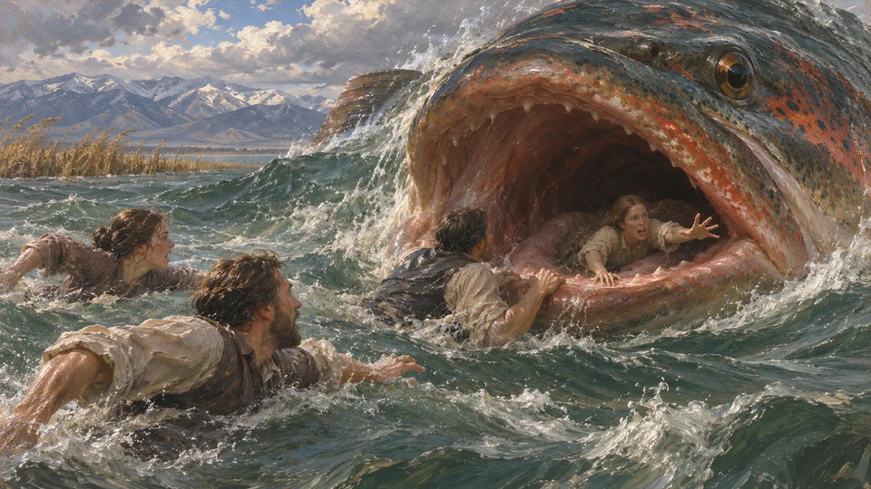
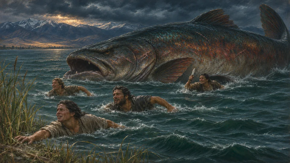
An illustration of the moment in the story when the great fish caught up with the four swimmers.
An illustration of the story's ending: the four swimmers free of the fish, one still holding the knife.
Farms across Utah Valley: looking across Provo to Utah Lake, about 1909
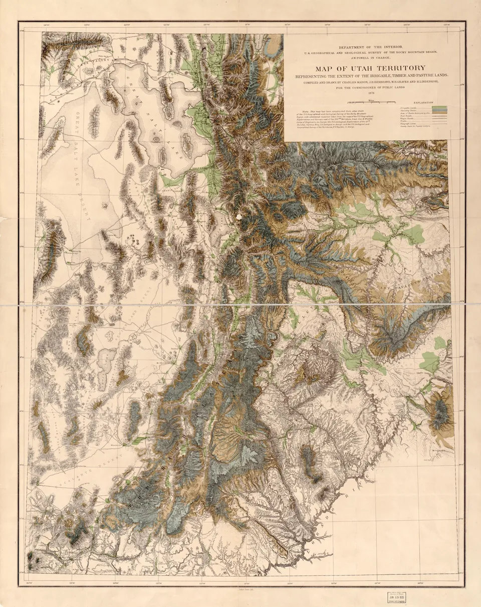
Map of Utah Territory from John Wesley Powell's survey, showing irrigable land in green, with the farmland around Utah Lake marked, compiled by Charles Mahon and others for the Commissioner of Public Lands.
Utah Lake looking north toward the Geneva Resort, around the 1930s.
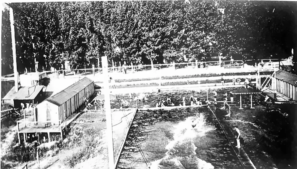
The Geneva Resort pools around the 1920s, fed by artesian water.
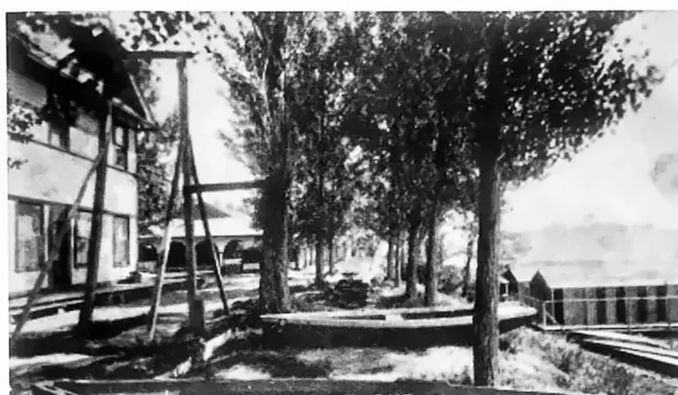
A swing under the trees at the Geneva Resort, around the 1920s.
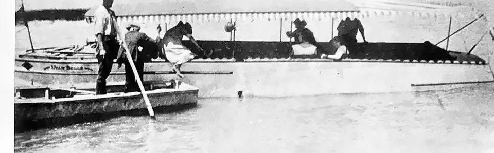
Boat tours at the Geneva Resort on Utah Lake, around the 1920s.
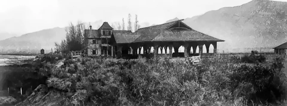
The Geneva Resort on the Vineyard shore of Utah Lake, around the 1940s.
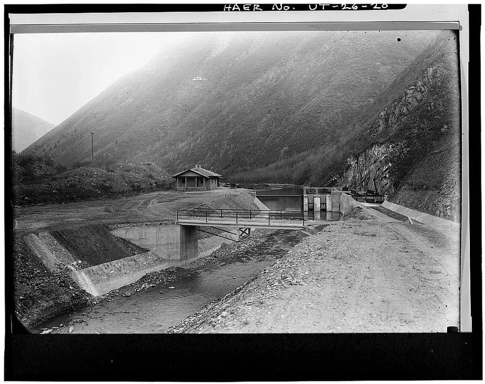
The completed Spanish Fork diversion structure and gatekeeper's house in Spanish Fork Canyon, part of the Strawberry Valley Project that brought water to farms in southern Utah County.
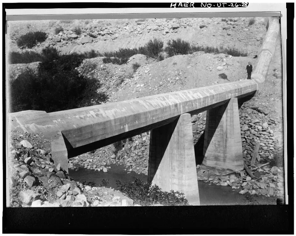
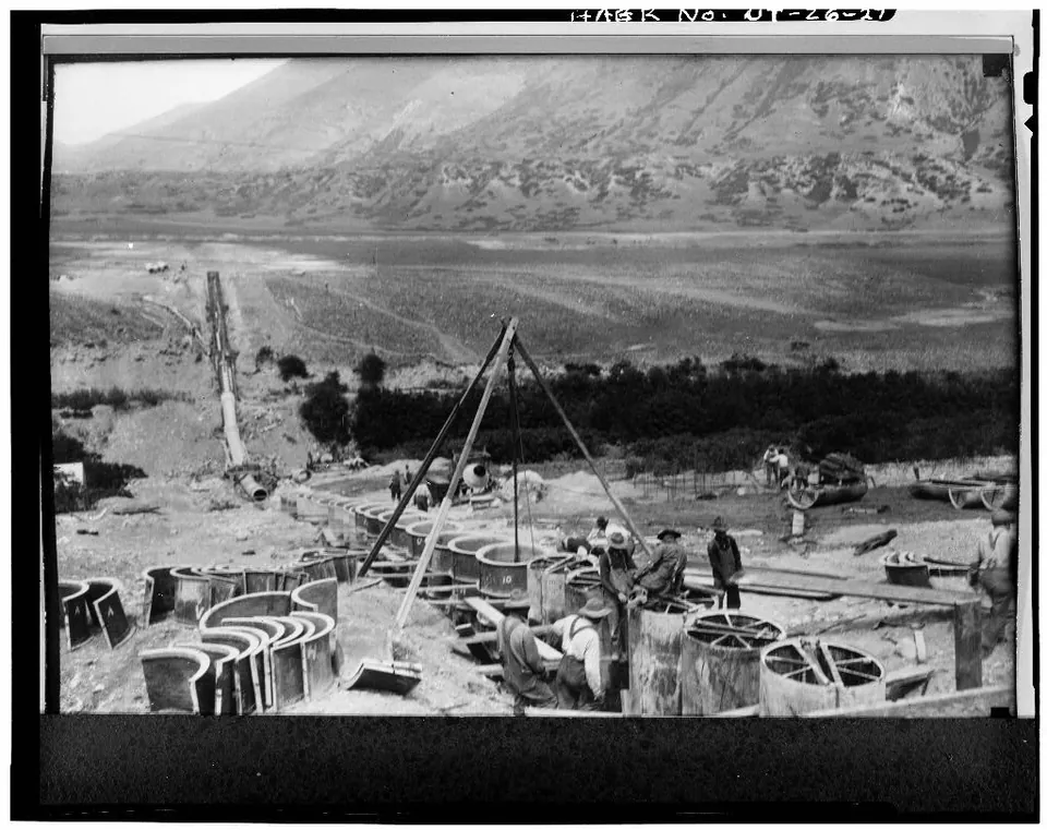
The completed siphon of the Springville and Mapleton lateral crossing the Spanish Fork River on concrete piers.
Utah valley farms, 1940
The Gammon farm in 1927, its barns and fields running toward Utah Lake.
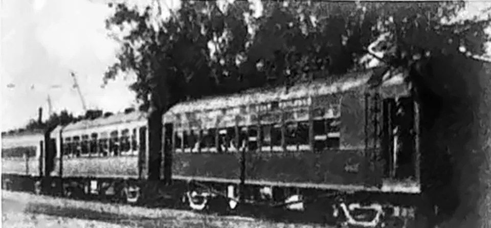
A car of the Salt Lake and Utah Railroad, the Orem Line interurban that ran through Vineyard from 1914, around the 1920s.
A Utah farm boy at work, 1940
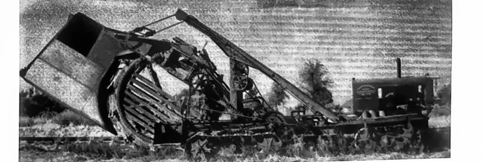
The El Grande machine used to dig farm drains in Vineyard from the 1920s to the 1950s, turning swampy ground into cropland.
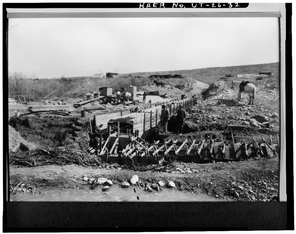
Workers building the Springville and Mapleton lateral siphon across the Spanish Fork River, Strawberry Valley Project, Utah County.
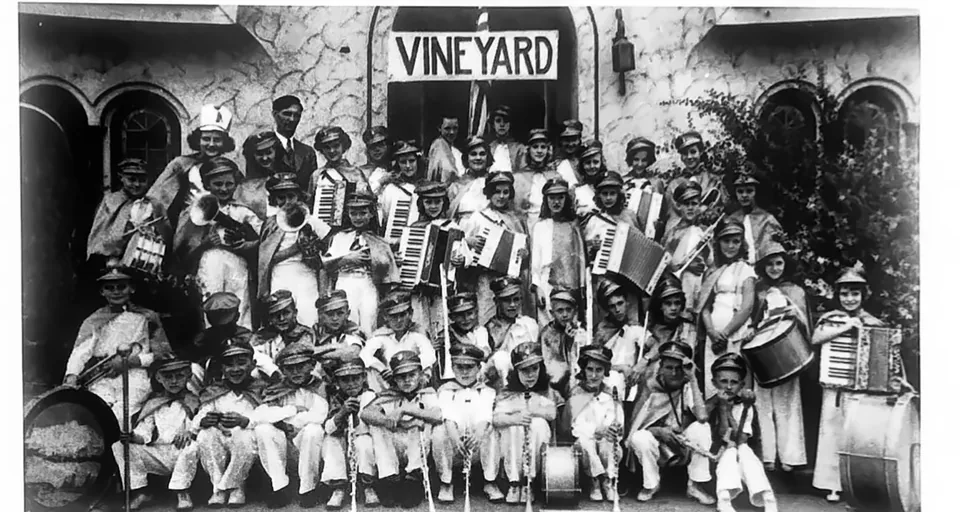
The Vineyard Band around 1938 under band teacher Earl Beck.
Trains carried visitors to Utah Lake resorts like Geneva, just north of Vineyard.
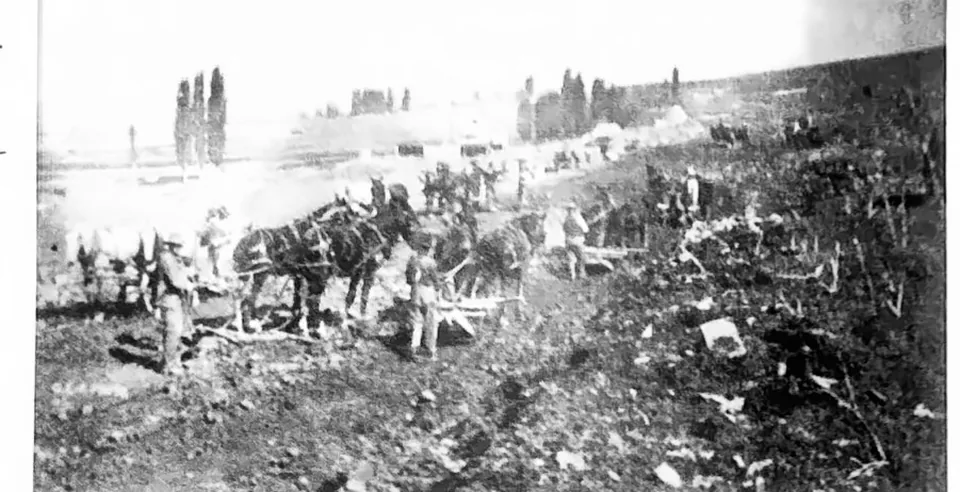
A sugar beet harvest in Utah County, about 1900
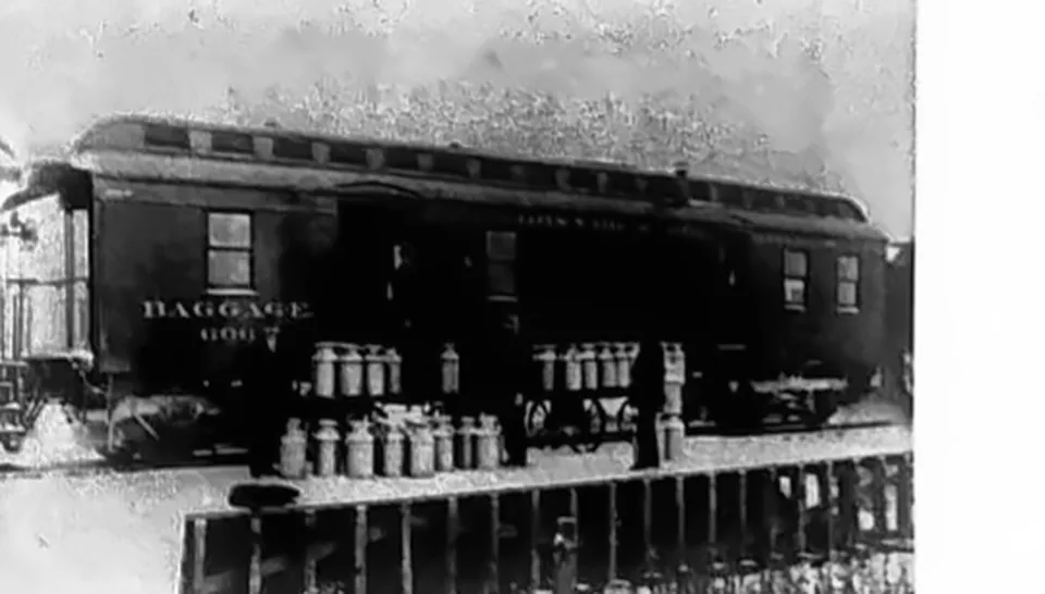
Loading the milk train at Vineyard, around the 1900s.
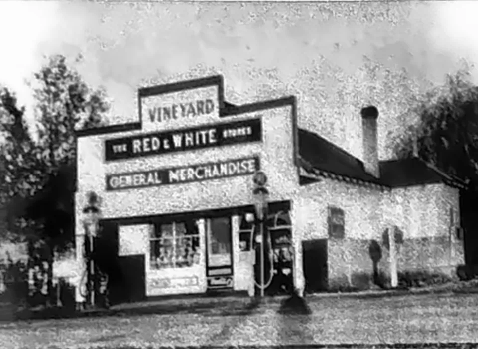
The Vineyard Red & White Store, built and owned by Hyrum Larsen, around 1925.
A Utah farm family, 1940
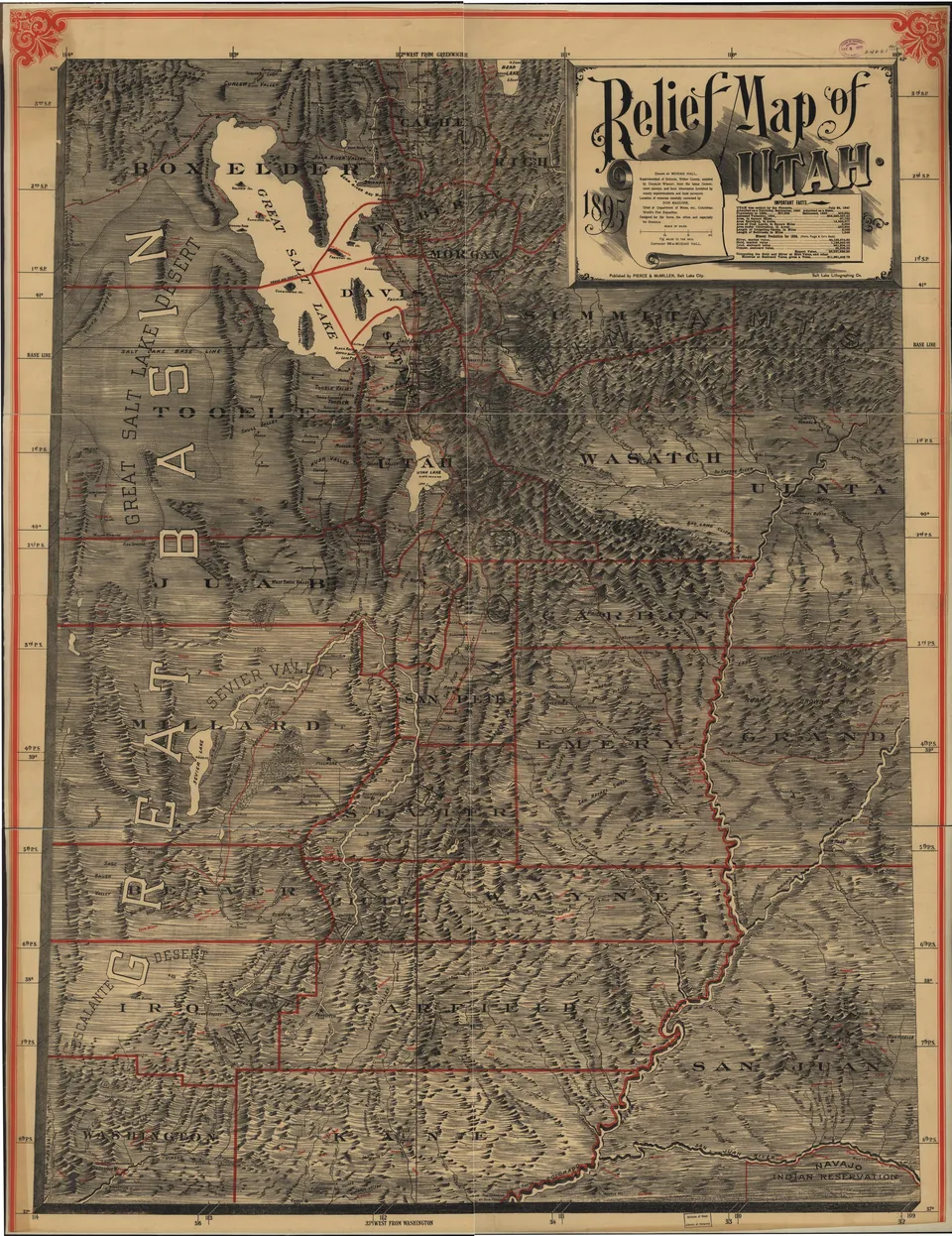
Relief map of Utah published at statehood in 1895 by Pierce and McMillen of Salt Lake City, showing county lines, towns and Utah Lake in the center of Utah County.
Building the High Line Canal siphon across Peteeneet Creek near Payson, Strawberry Valley Project.
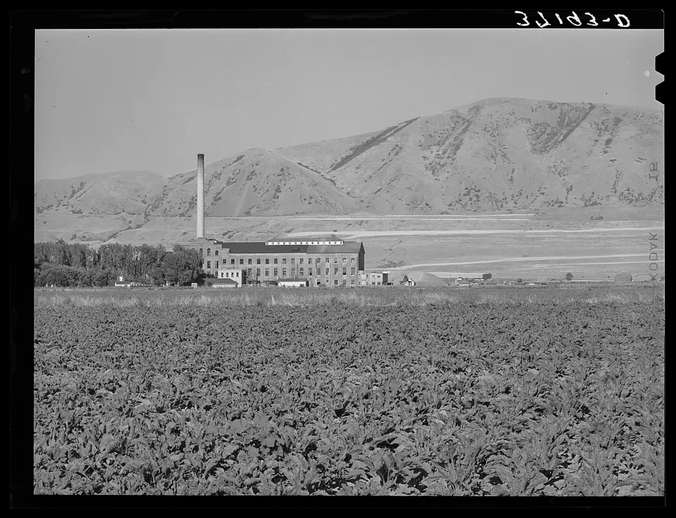
A field of sugar beets in front of the sugar beet processing plant at Garland, Box Elder County, Utah.
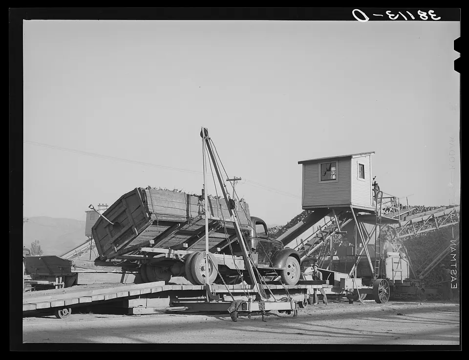
A truck of sugar beets being tipped and unloaded at the sugar beet plant in Lewiston, Cache County, Utah.
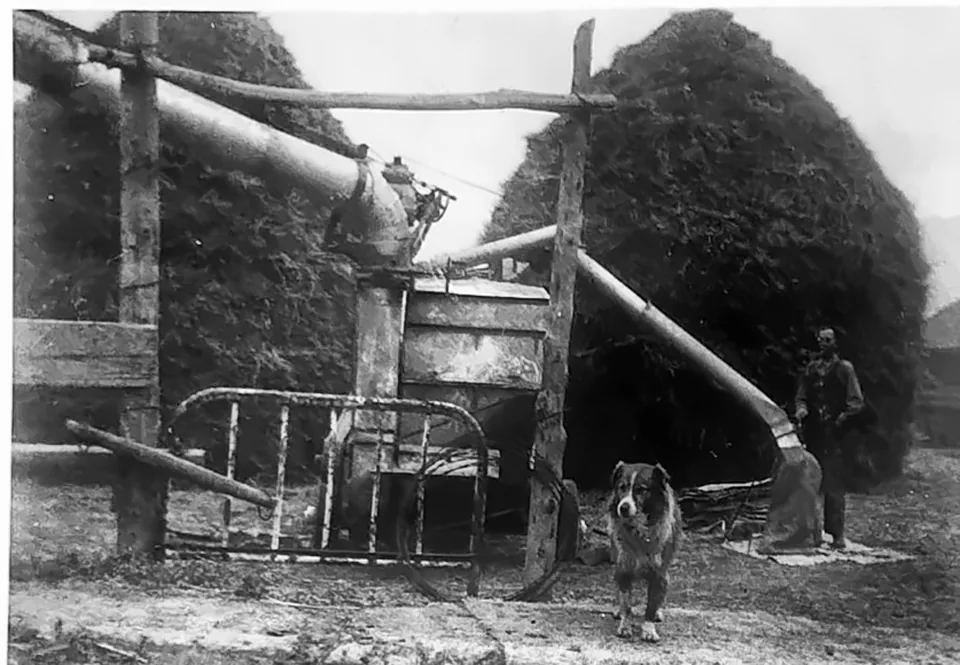
Threshing grain on a Vineyard farm in 1948, the straw piled high beside the machine.
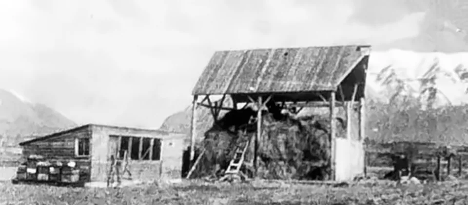
A haystack at the Blake barn in Vineyard, around the 1920s.
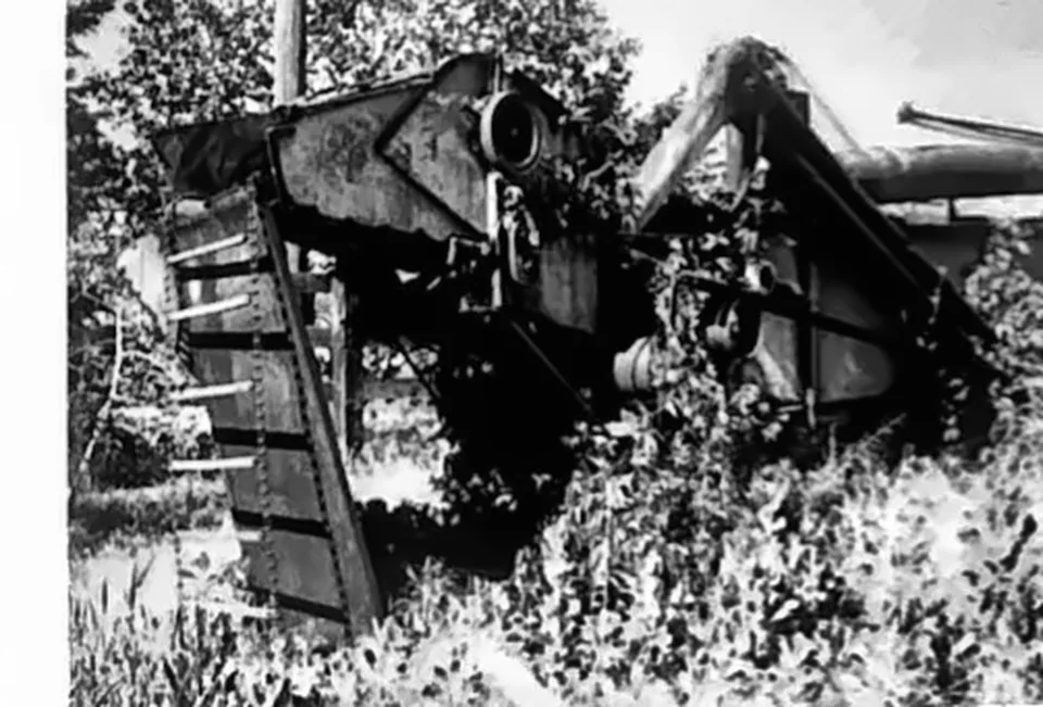
An old threshing machine of the kind Vineyard farmers shared from farm to farm at harvest.
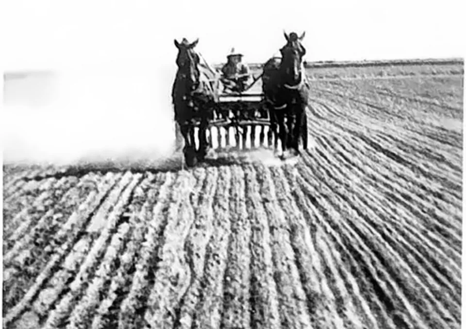
Drilling grain with a team of horses on a Vineyard farm, around the 1940s.
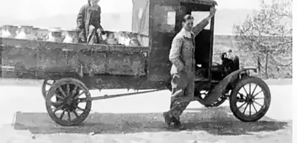
The Cherry Hill milk truck, which hauled milk from Vineyard dairies, in 1945.
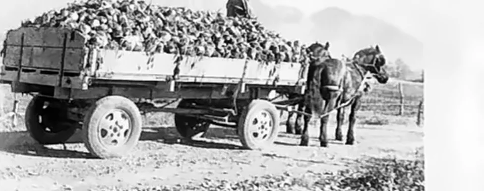
Hauling sugar beets by horse and wagon in Vineyard, 1948.
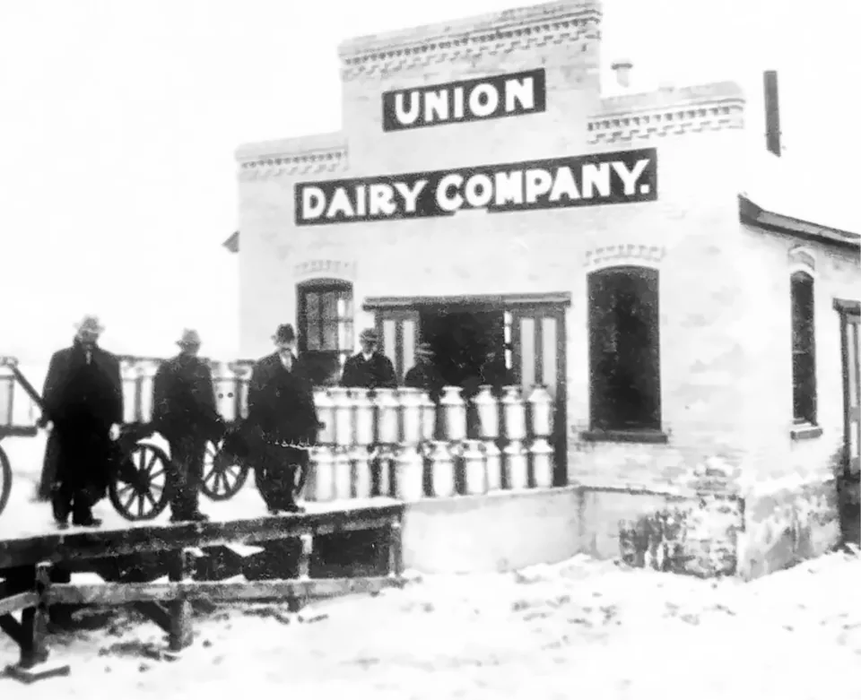
The Union Dairy Company, the first milkhouse in Vineyard, built in 1890, with milk cans ready for the train.
Building the Geneva Road through Vineyard in 1914.
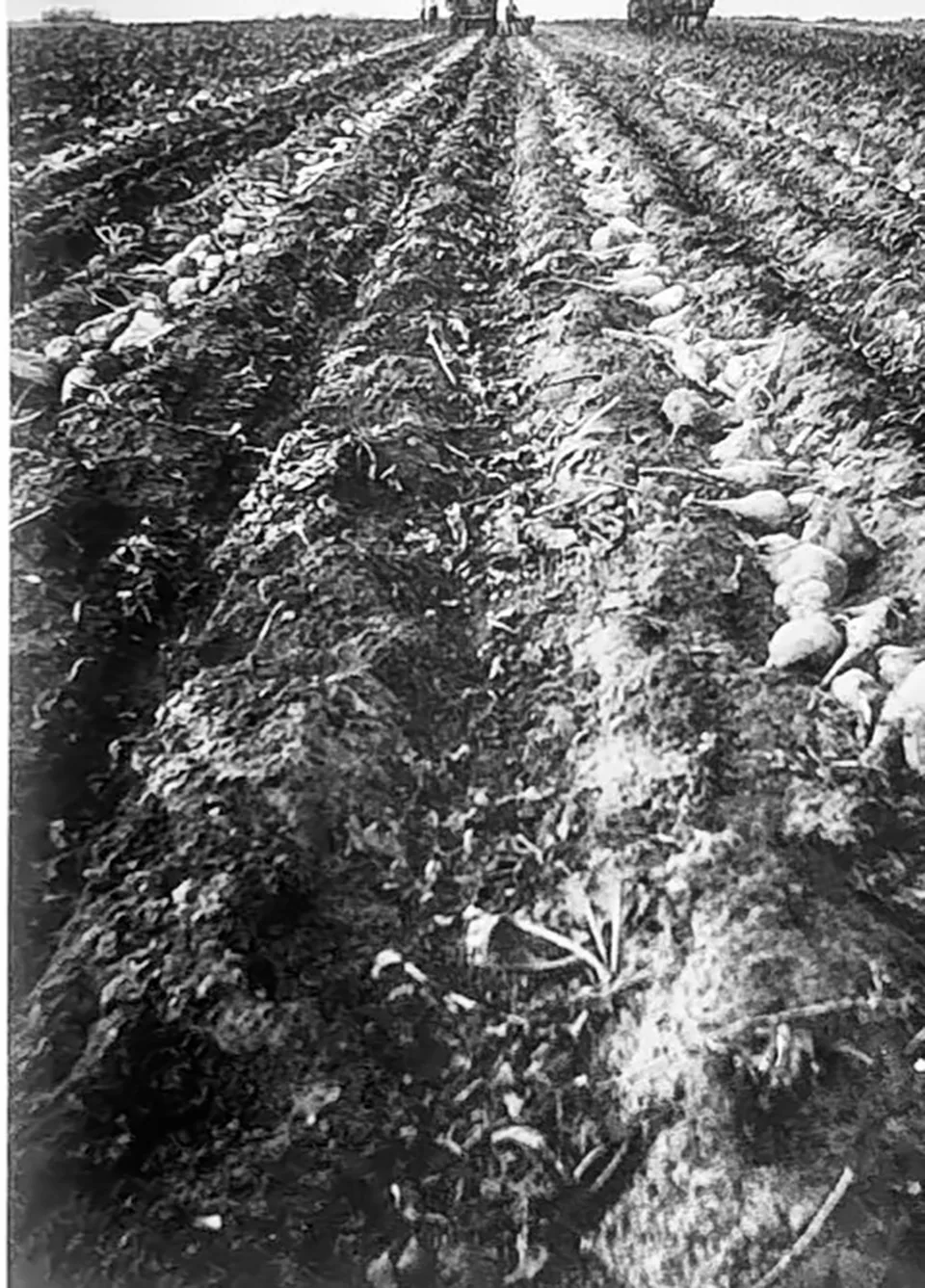
A Gammon sugar beet field around 1920, rows stretching toward the lake.
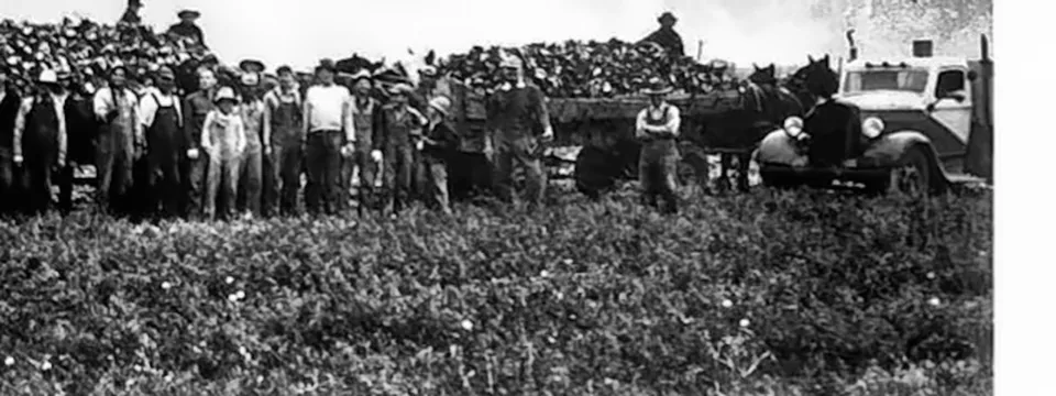
The Vineyard Ward sugar beet harvest in 1940, with men, tractors and wagons gathered at the beet pile.
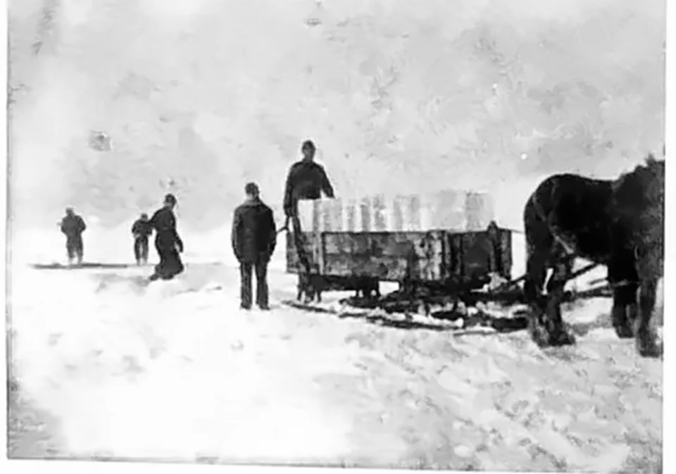
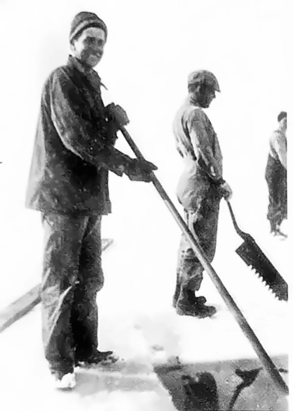
Hauling ice from Utah Lake on a bobsleigh, around the 1900s. Ice cut from the lake kept milk cold through summer.
The Andreasen Store and its miniature golf course, around the 1930s.
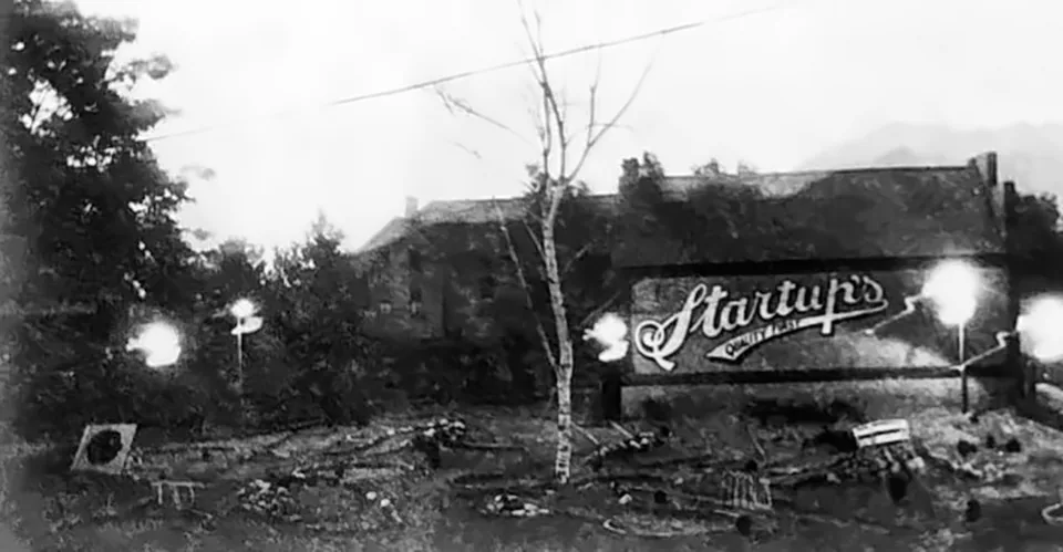
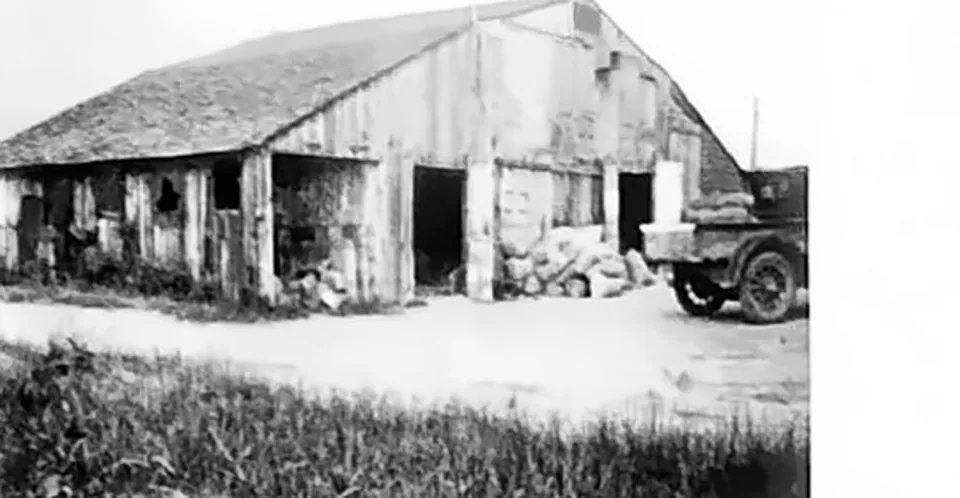
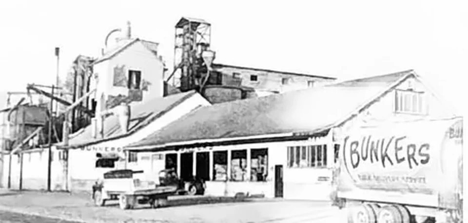
The original Bunker feed mill, around 1935.
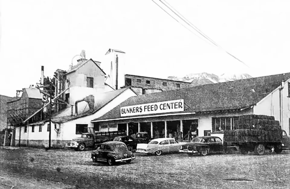
Bunkers Feed Center around the 1940s, with cars lined up out front.
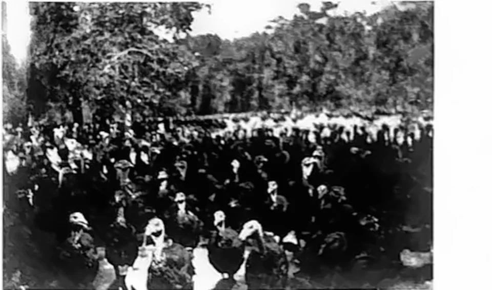
A flock of turkeys on a Vineyard turkey ranch, around the 1940s.
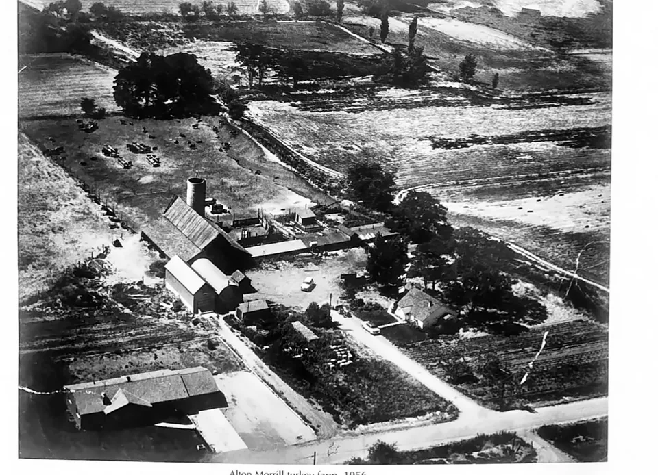
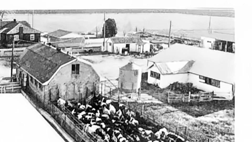
The Morrill turkey farm in Vineyard in 1956, seen from the air, its long pens running toward the fields.
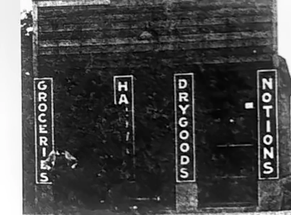
The Andreasen Store, around the 1910s, its storefront signs advertising groceries, dry goods and notions.
Cutting ice on Utah Lake, around the 1900s.
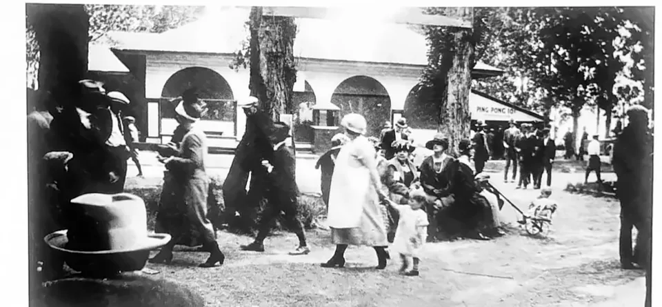
Crowds at the Geneva Resort in the 1920s, beneath the arches of the resort buildings.
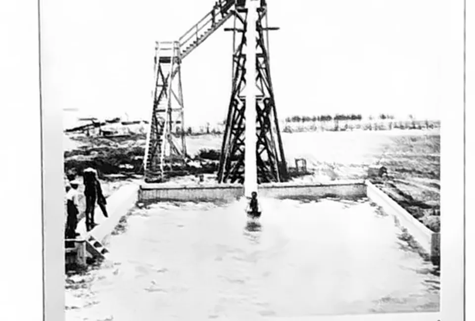
The Geneva Resort flume slide around the 1920s, which sent riders down a wet chute into the water.
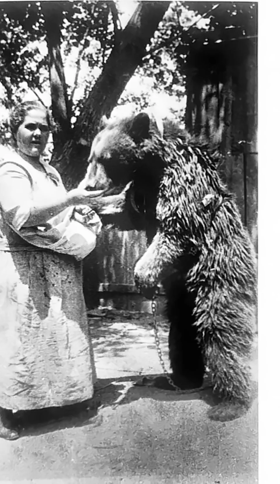
Old Bruin, the Geneva Resort's bear, around the 1920s.
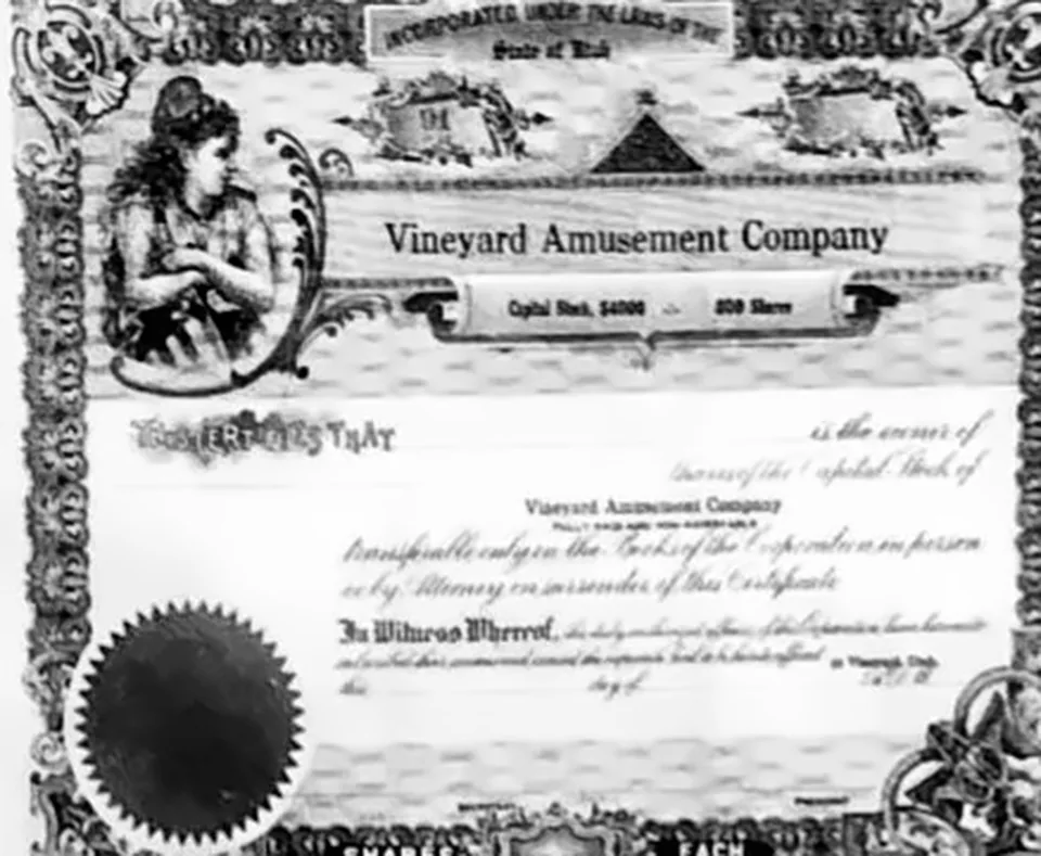
A stock certificate of the Vineyard Amusement Company, which owned the Geneva Resort.
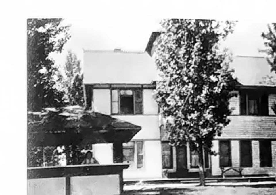
The Geneva Hotel at the Geneva Resort, around the 1920s.
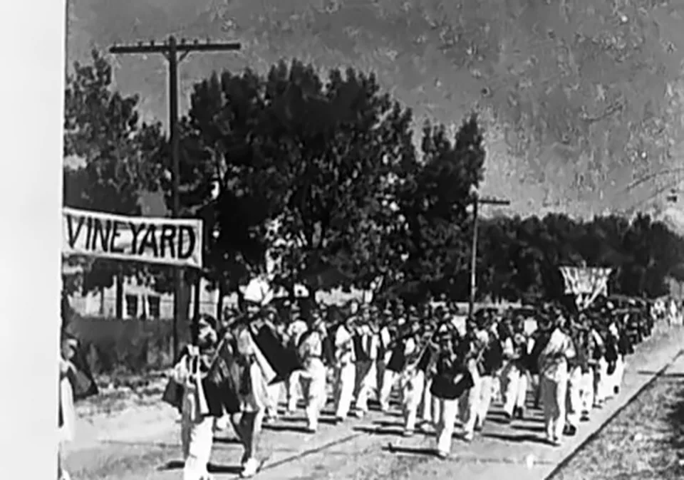
The Vineyard band marching in 1939.
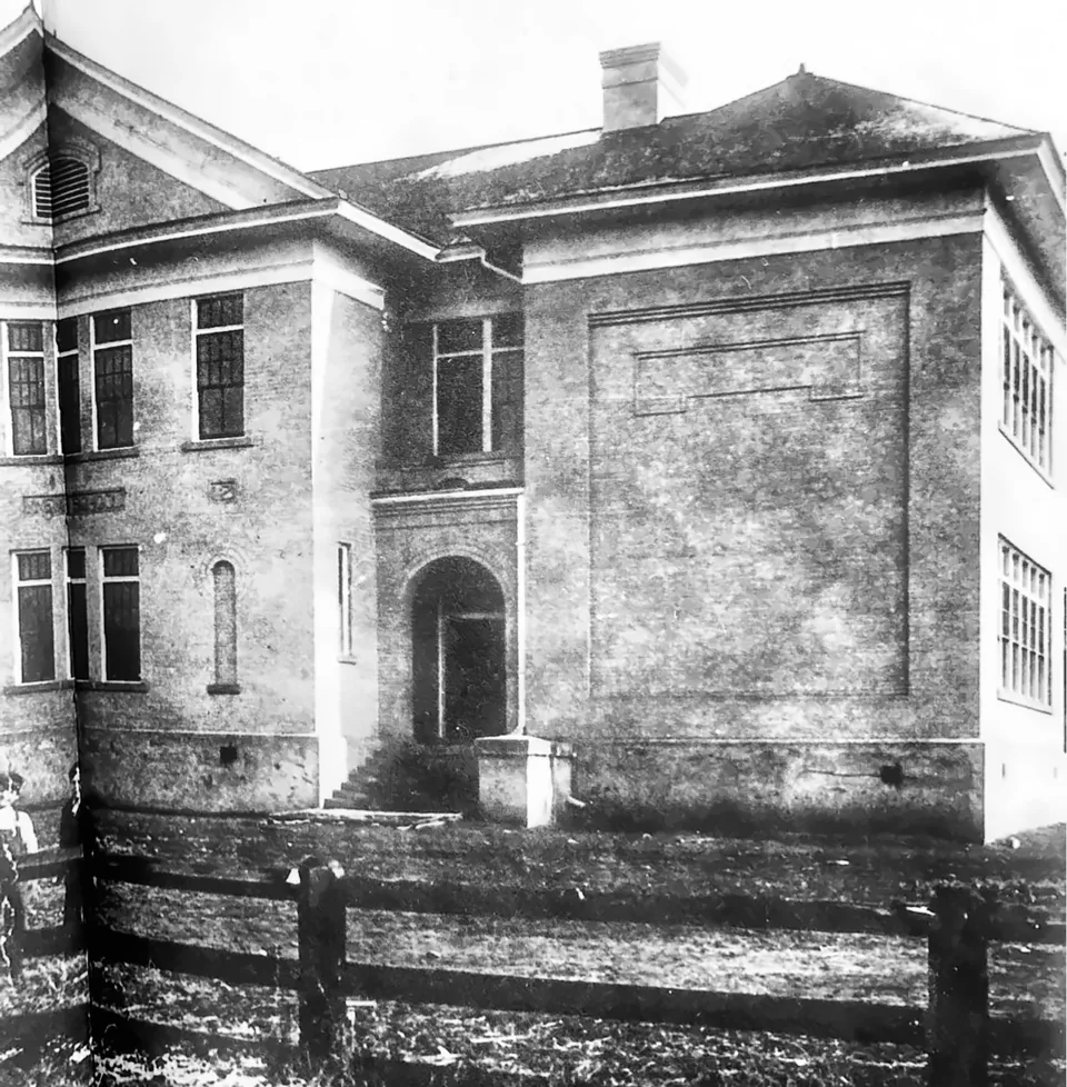
The Vineyard School, a two-story building finished in 1912.
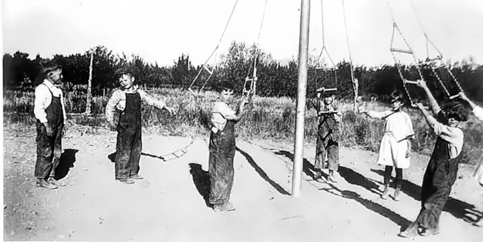
School children playing on the giant stride swings in Vineyard, around the 1920s.
Open-hearth furnaces and stacks under construction at Geneva, November 1942
Steel and concrete go into place at Geneva, 1942
Driving piles for the mill's foundations, Geneva, 1942
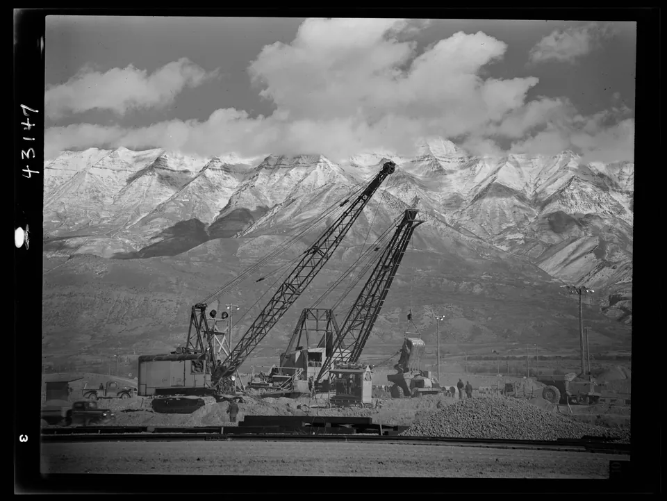
Two draglines dig foundations for the open hearth furnaces at the Geneva steel plant site in November 1942, with the snowy Wasatch Range behind them.
Servicing a floodlight for night work at Geneva, 1942
Two workmen at the mill under construction, Geneva, 1942
A truck carrying concrete mixers at the new mill, Geneva, 1942
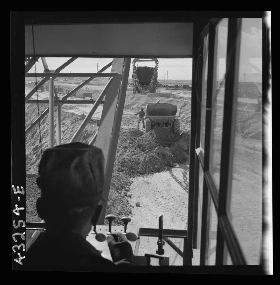
A dragline operator at work, seen from inside his cab, as crews dug day and night for the open hearth furnaces of the new Geneva steel mill in 1942.
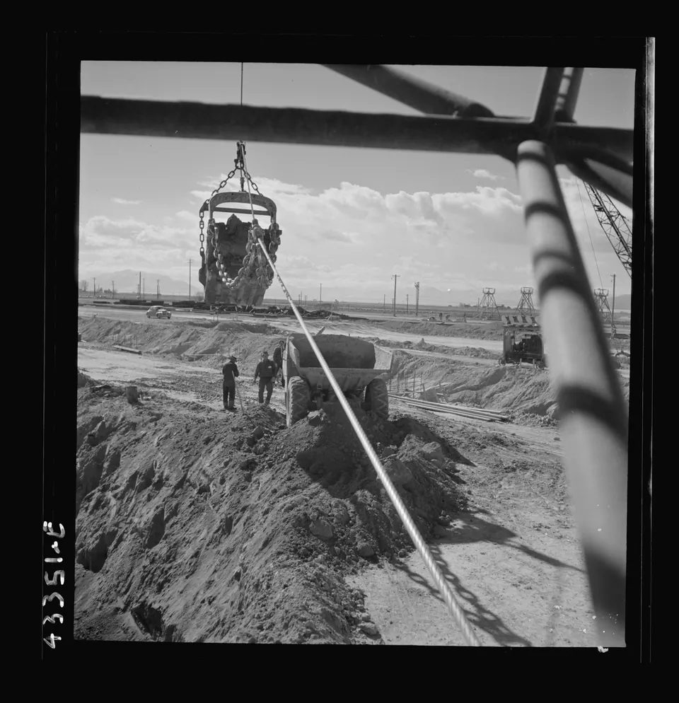
A dragline bucket swings over a waiting dump truck during excavation for the open hearth furnaces at Geneva, November 1942.
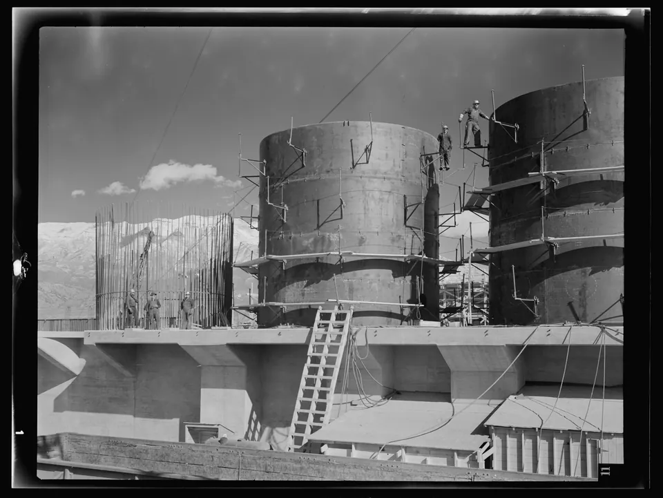
Workers stand atop the rising steel shells of the Geneva blast furnaces as they take form in November 1942.
Building on the mill site, Geneva, 1942
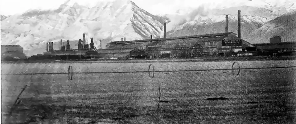
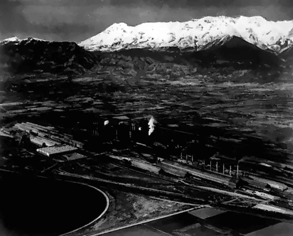
Geneva Works under Mount Timpanogos, 1940s
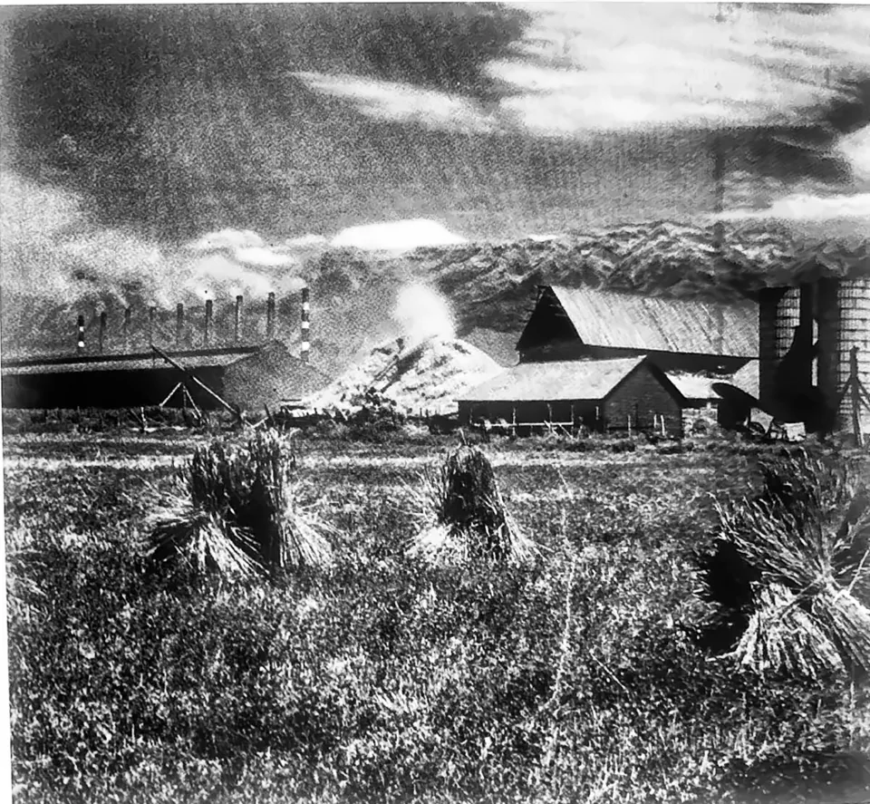
A Vineyard farm looking north toward the Geneva Steel plant in the 1940s, shocks of grain in the foreground and the mill on the horizon.
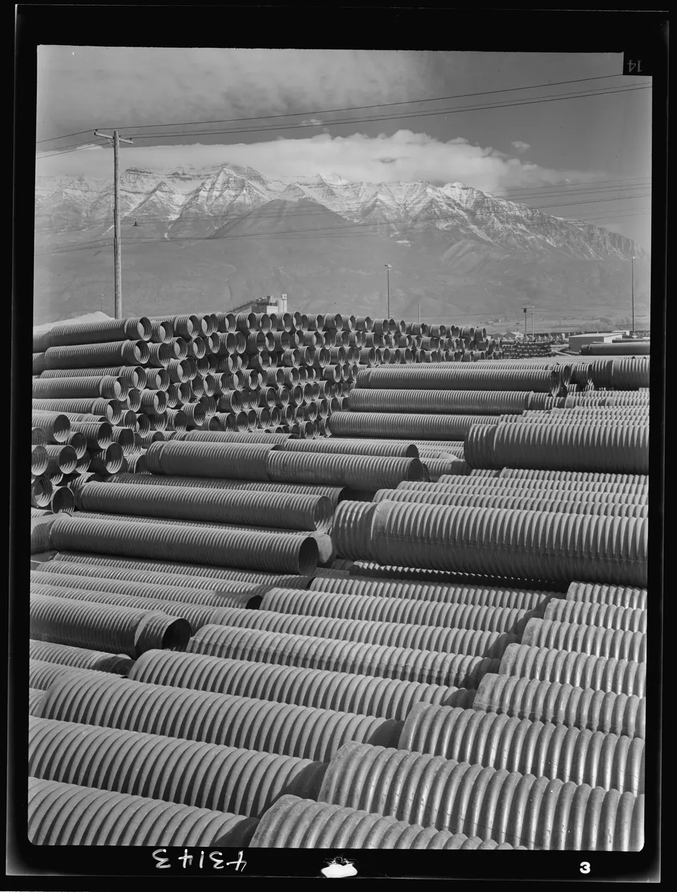
Stacks of corrugated metal casings for concrete foundation piles wait at the Geneva steel plant site in 1942, below the Wasatch Range.
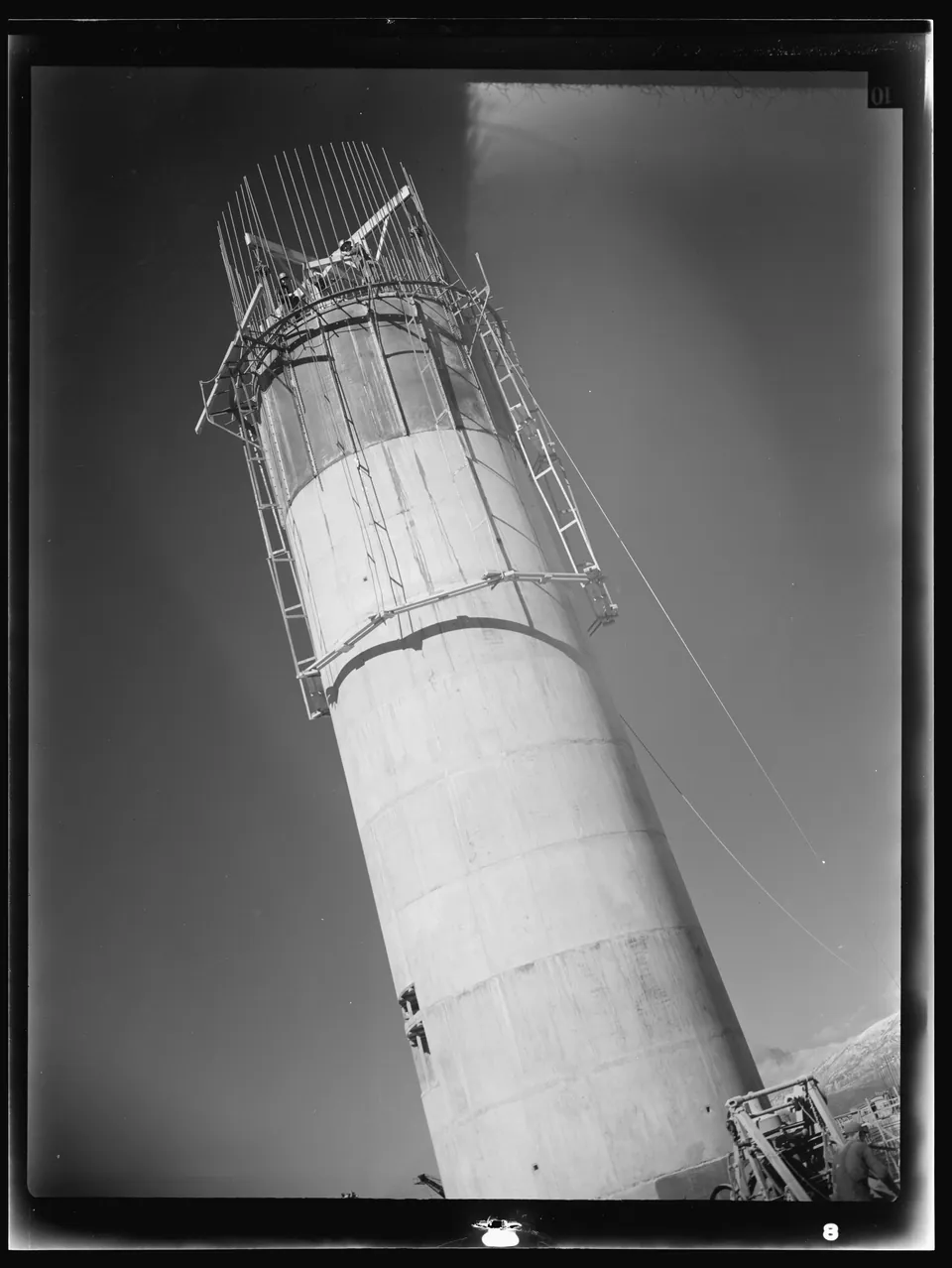
A concrete stack for the open hearth furnaces rises at the Geneva steel plant in November 1942, photographed from below.
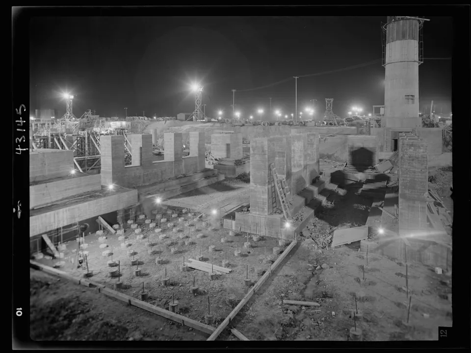
Floodlights light the footings for the open hearth furnaces at night, as construction of the Geneva steel plant ran around the clock in 1942.
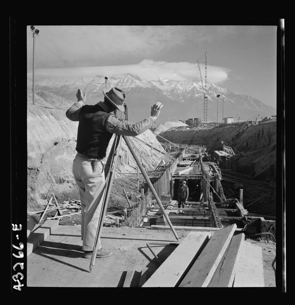
A surveyor runs lines for the water intake tunnel that would serve the new Geneva steel mill, November 1942.
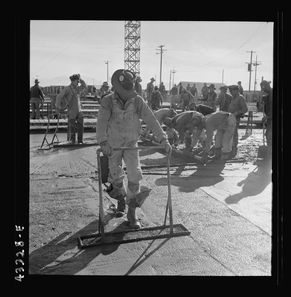
A crew spreads and finishes fresh concrete as the Geneva steel mill takes form in November 1942.
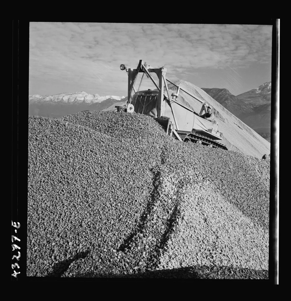
A bulldozer works a pile of gravel used to make concrete for the Geneva steel plant, 1942.
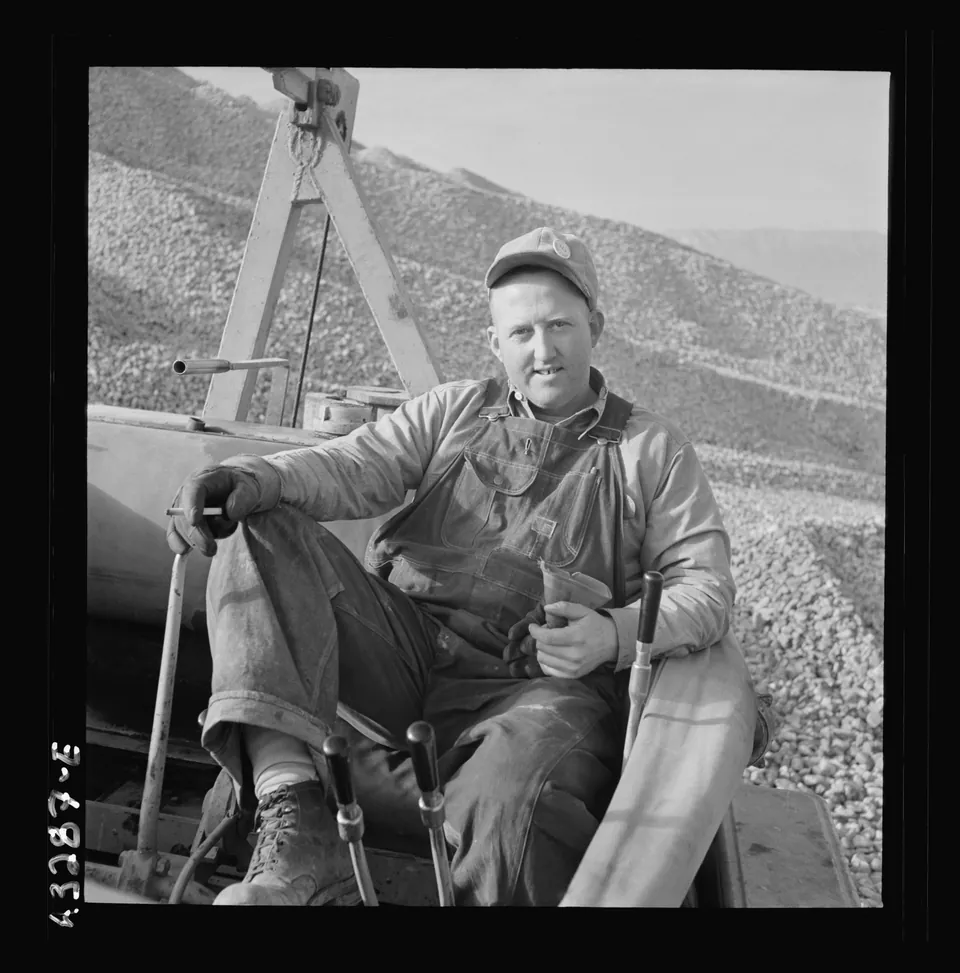
Portrait of a bulldozer operator who helped build the Geneva steel mill, November 1942.
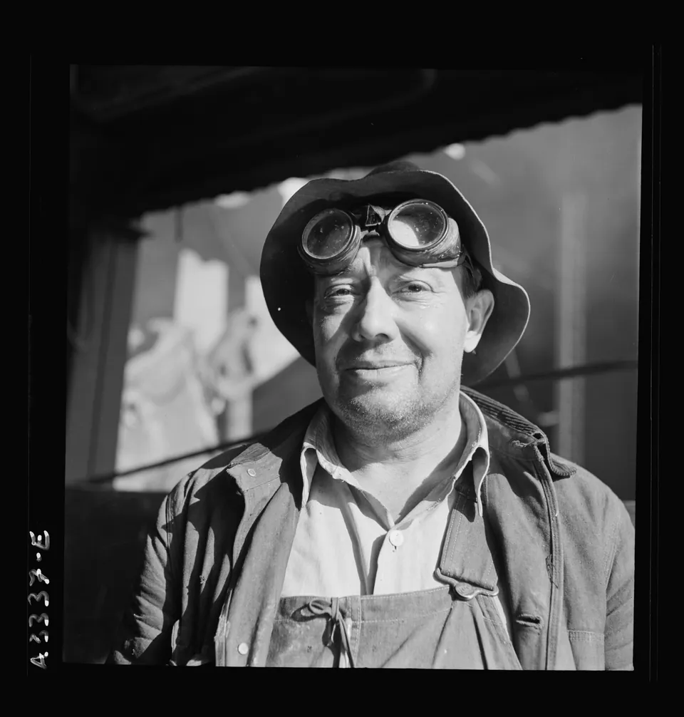
A construction worker in goggles at the Geneva steel plant site, identified in the original caption as a bulldozer operator, November 1942.
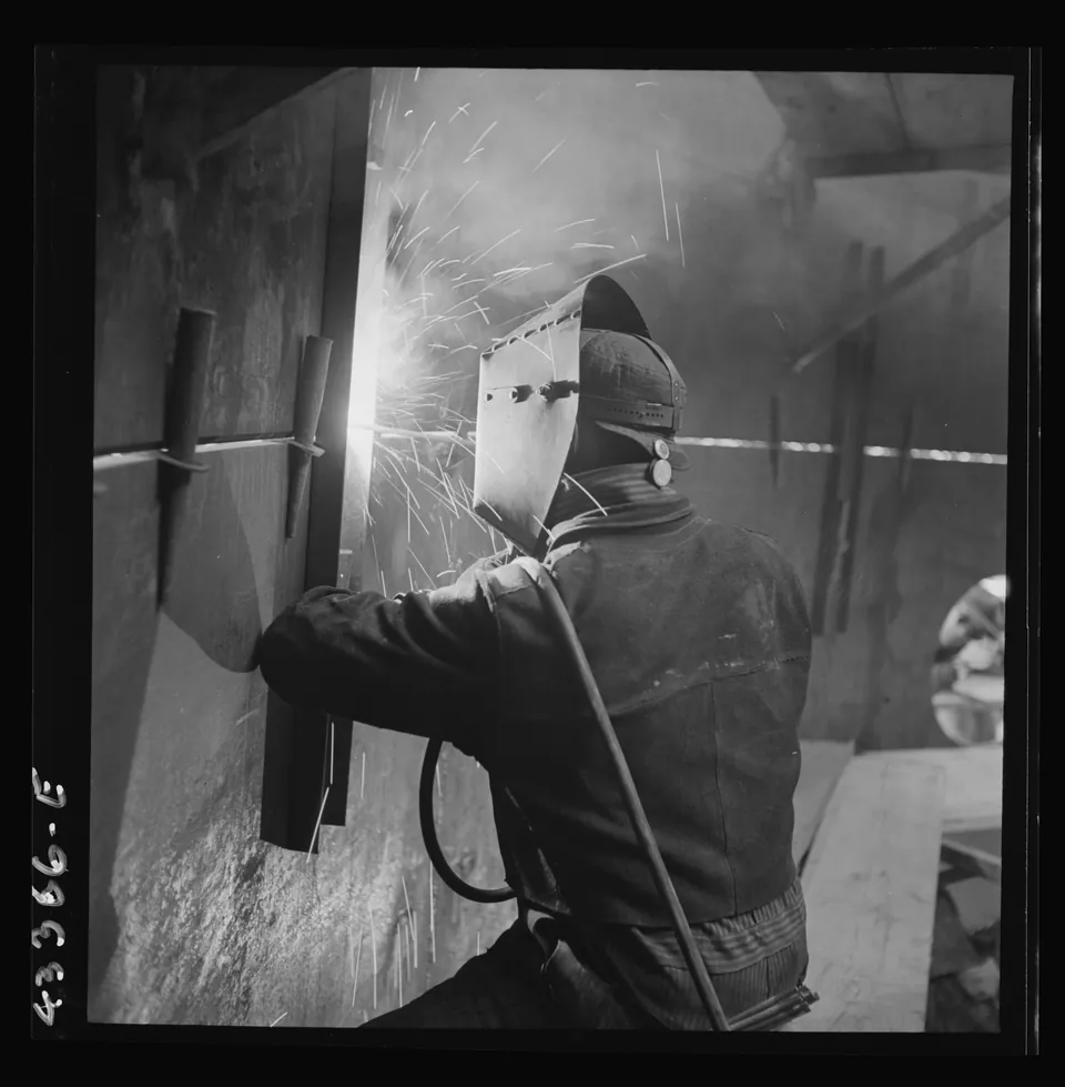
An electric arc welder at work during construction of the Geneva steel mill, November 1942.
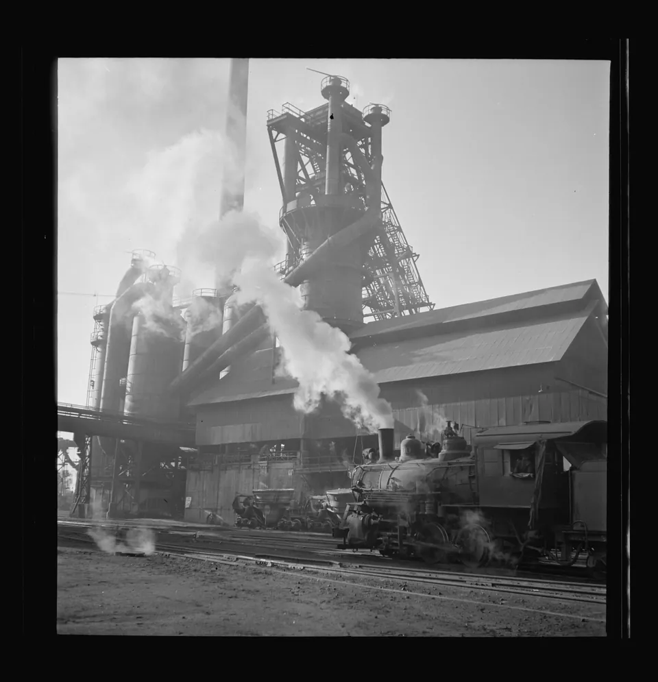
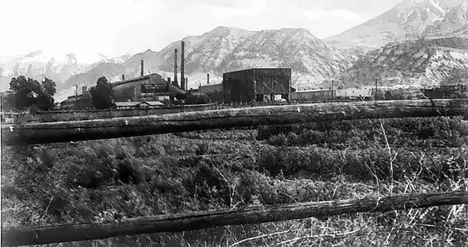
A steam locomotive outside the blast furnace of the Columbia Steel Company plant at Ironton, between Provo and Springville, in October 1942.
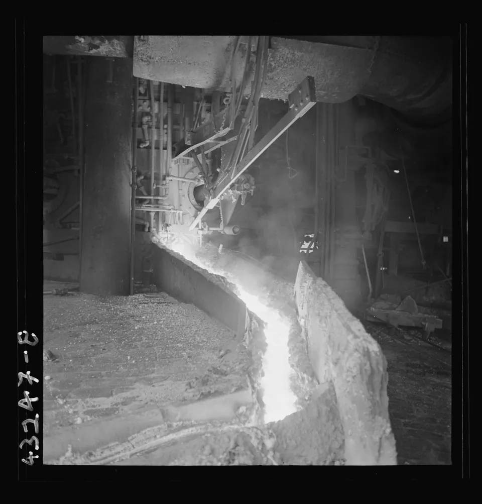
Molten iron pours from the blast furnace at Columbia Steel Company's Ironton plant near Springville, October 1942.
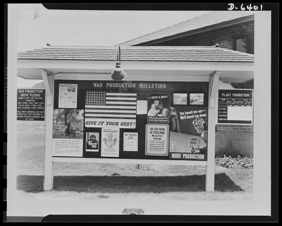
War production posters on a bulletin board for employees of the Columbia Steel Company in Utah County, urging more and better output during World War II.
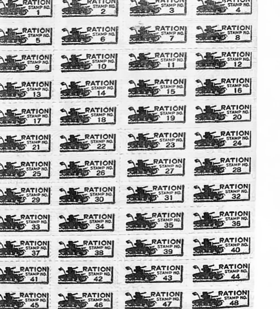
A sheet of World War II ration coupons kept by a Vineyard family, 1940s.
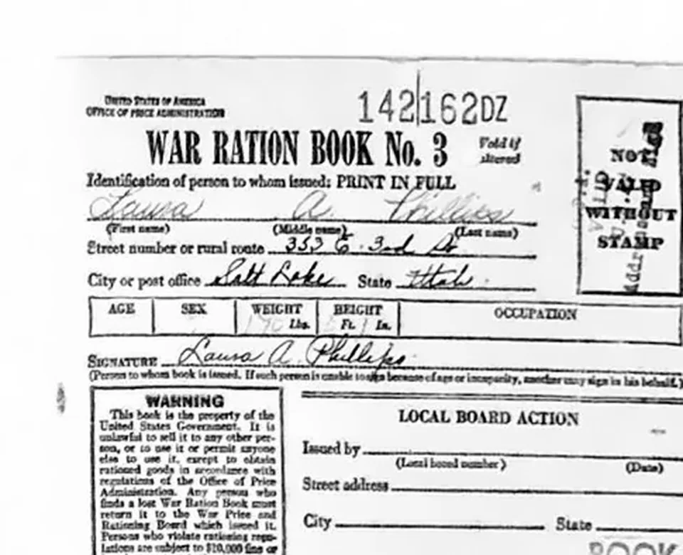
A World War II ration book cover, War Ration Book No. 3, issued in Utah County in the 1940s.
Digging for the open hearth furnaces by floodlight, Geneva, 1942
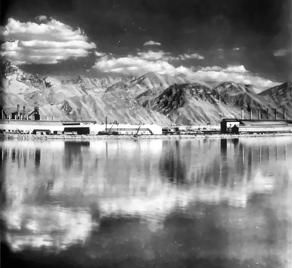
The Geneva Steel plant seen looking east from Utah Lake in the 1960s, its stacks reflected in the water below the Wasatch Range.
Furnaces rising at Geneva, 1942
Utah valley farms, 1940
Geneva at sunrise under U.S. Steel, 1972
The open-hearth stacks as they were built, Geneva, 1942
Geneva Steel in 1999, the year the company filed for Chapter 11 bankruptcy.
An aerial view of Geneva Steel in the 1960s, the mill spread across the old Vineyard farmland between Utah Lake and the snowy Wasatch.
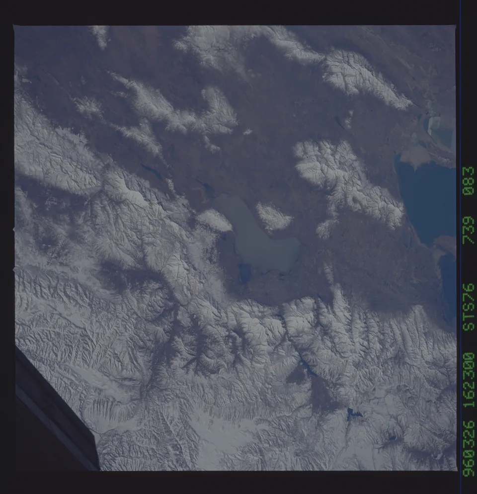
Utah Lake and Provo among snow covered mountains, photographed from the space shuttle Atlantis on March 26, 1996.
The stacks going up at Geneva, 1942
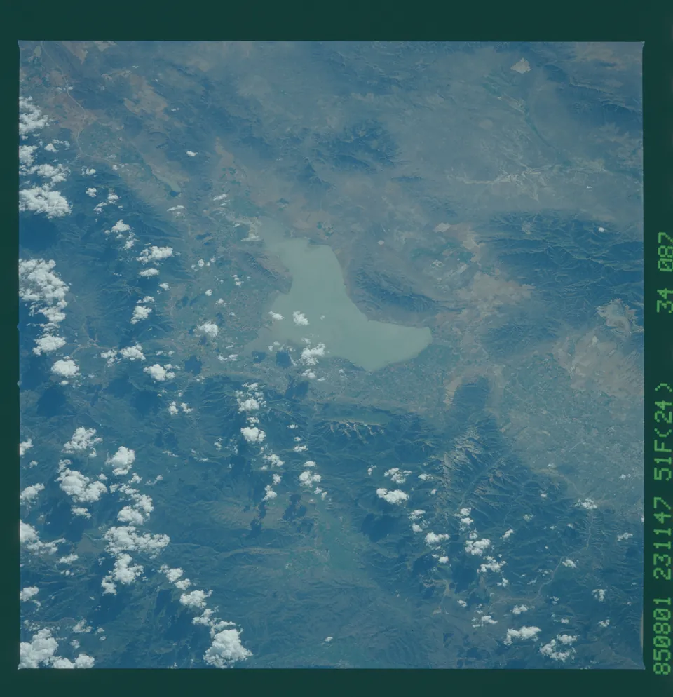
Utah Lake photographed from the space shuttle Challenger on mission 51F, with the farms and towns of Utah Valley around it and scattered summer clouds.
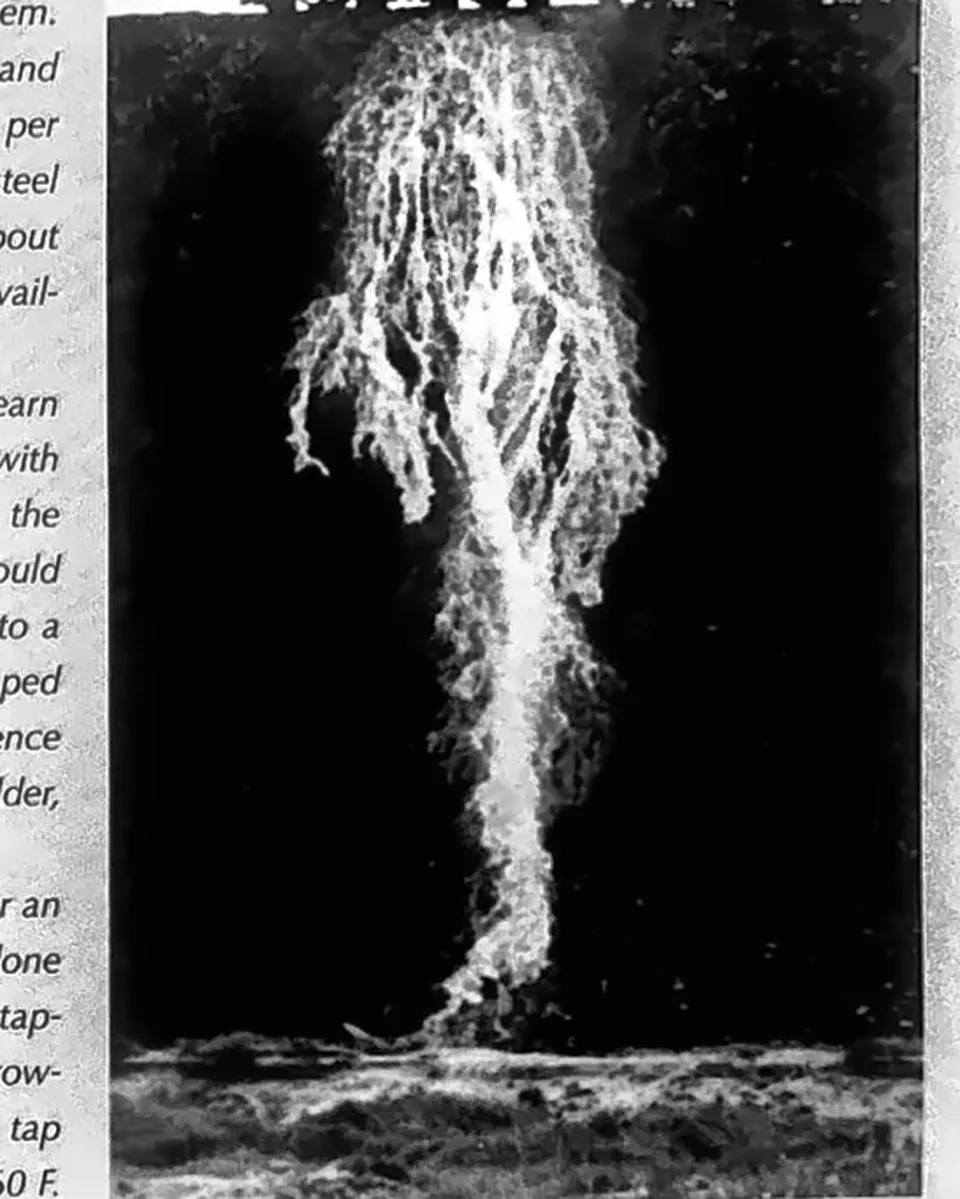
Molten steel pours down the slag pile at Geneva, around the 1960s, lighting up the night.
The Q-BOP furnace at Geneva Steel in 1991, part of the $70 million modernization that replaced the old open hearths.
Geneva Steel in 1998, the year the mill began its final round of layoffs.
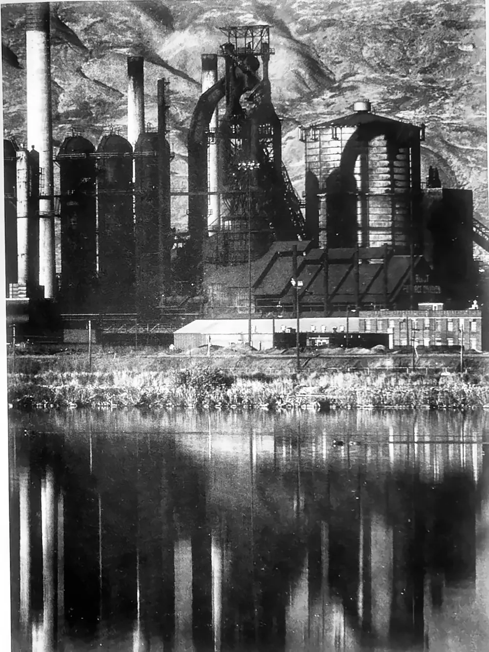
A Geneva Steel blast furnace and smoke stacks in the 1990s, mirrored in a pond on the plant grounds.
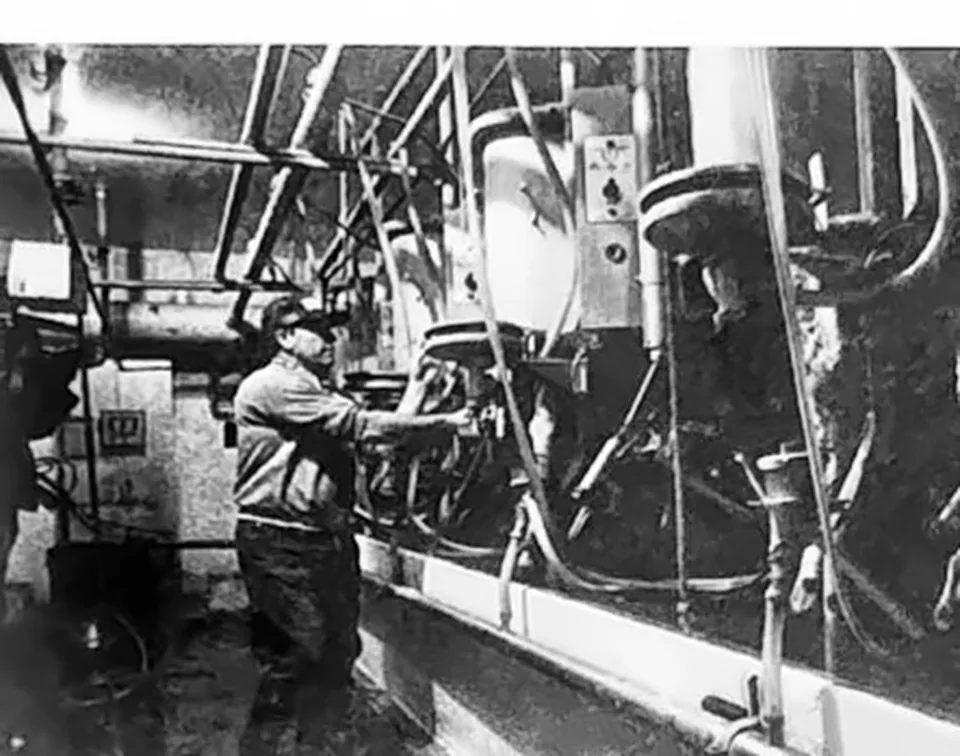
J Rulon Gammon with the milking machines in his dairy barn, 1983.
Bunkers Feed around the 1950s.
The Gammon dairy farm in 1983.
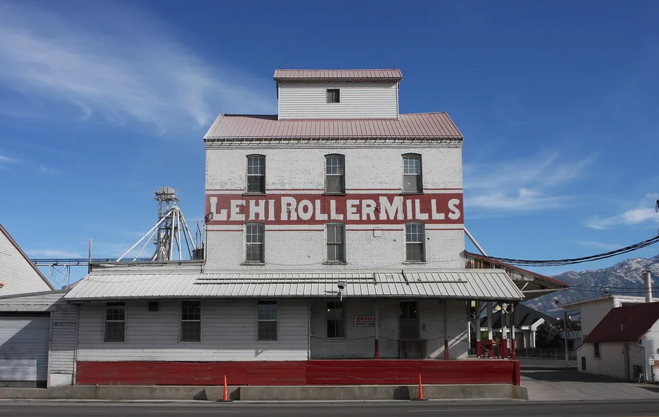
The Lehi Roller Mills, where Kevin Bacon's character worked in Footloose.
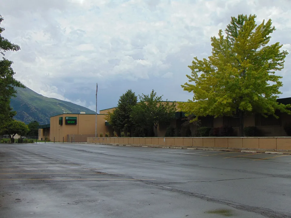
Payson High School in 2016, the Bomont High of Footloose, before the old building came down.
The First Presbyterian Church in American Fork, used for the church scenes in Footloose.
Looking across Vineyard toward Mount Timpanogos, 1997.
The original Town of Vineyard emblem, used by the town after its incorporation in 1989.
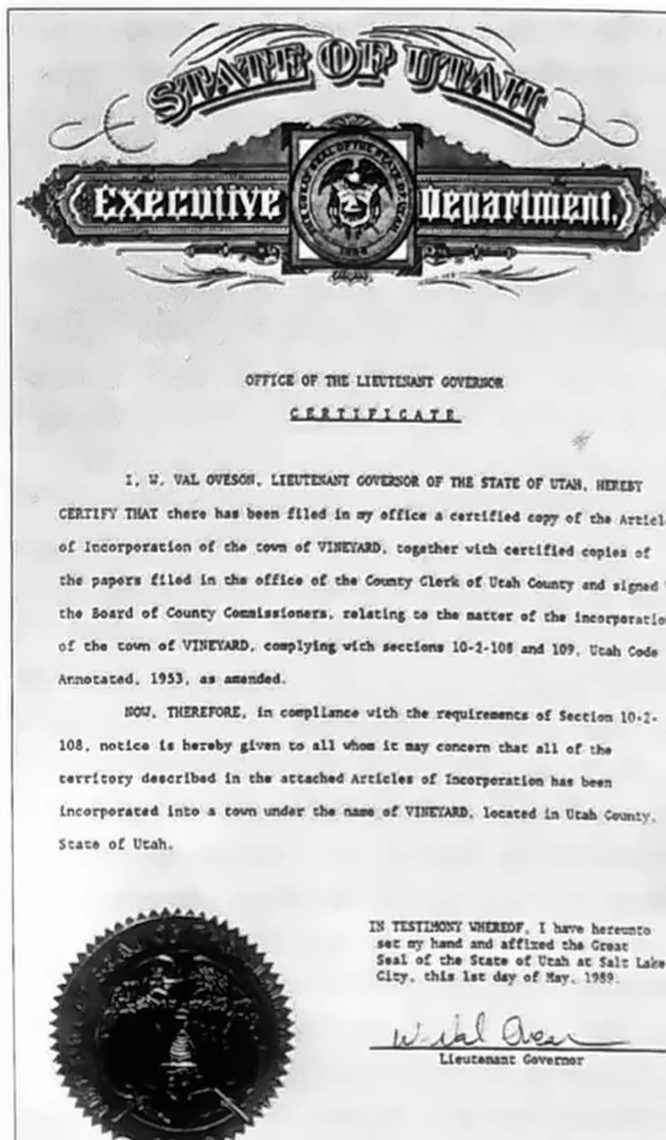
The certificate of incorporation for the Town of Vineyard, issued by the Utah Lieutenant Governor in May 1989.
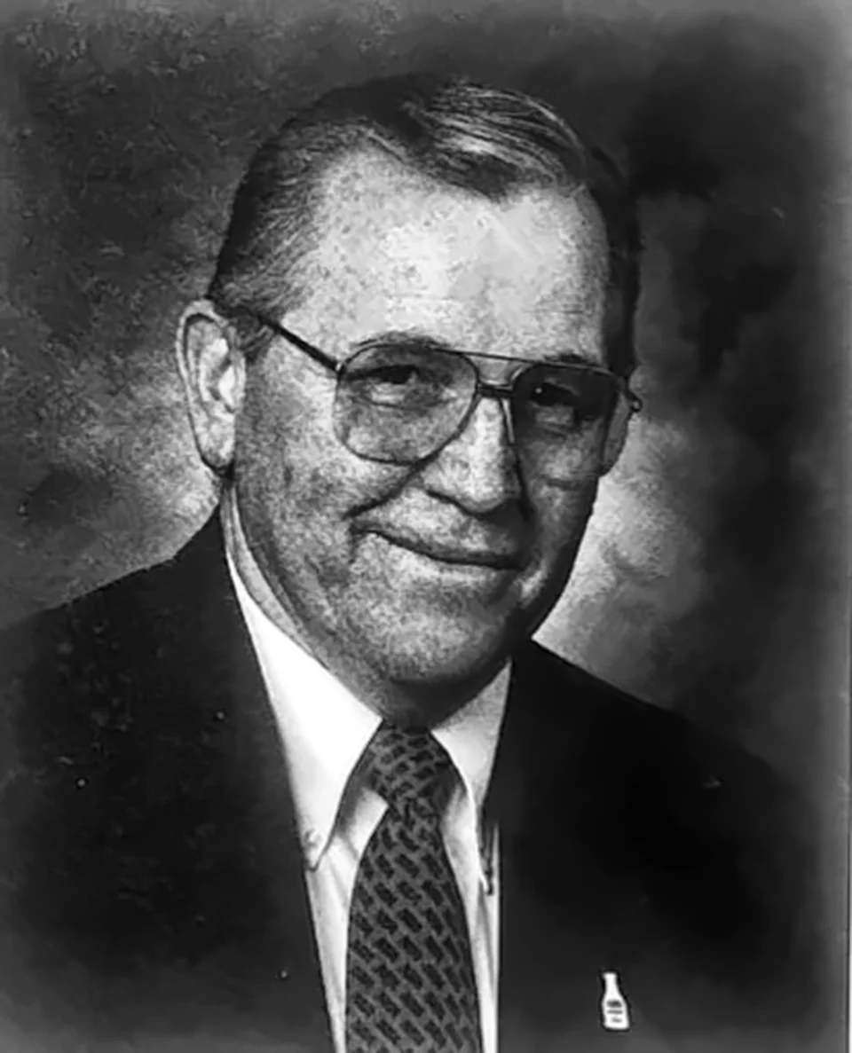
J Rulon Gammon, dairyman and Vineyard's first mayor, who led the town from its incorporation in 1989.
Haystacks on a farm in Cornish, Utah, 1940
Flagpoles at sunrise at the Vineyard town center, 1998.
Utah Lake from the Vineyard shore in March 2000.
A stack going up at Geneva, 1942
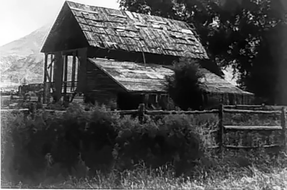
The weathered LeCheminant barn in Vineyard, 1998.
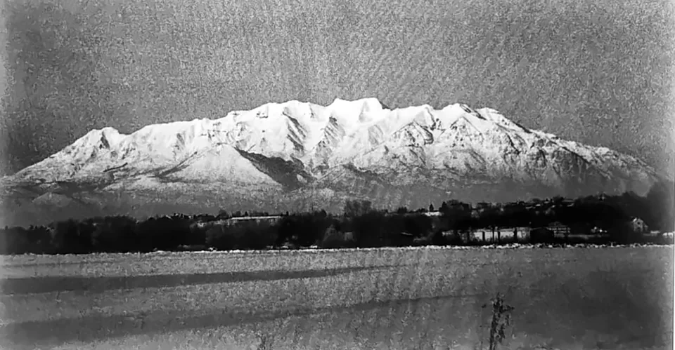
Mount Timpanogos under snow, seen from the Vineyard fields around 1997.
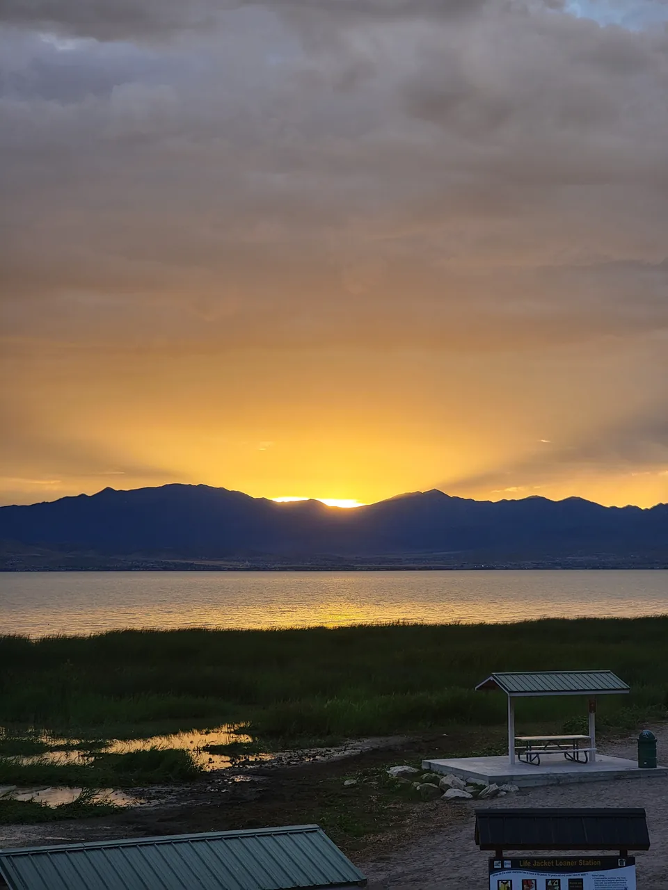
Sunset over Utah Lake from Vineyard, 1998.
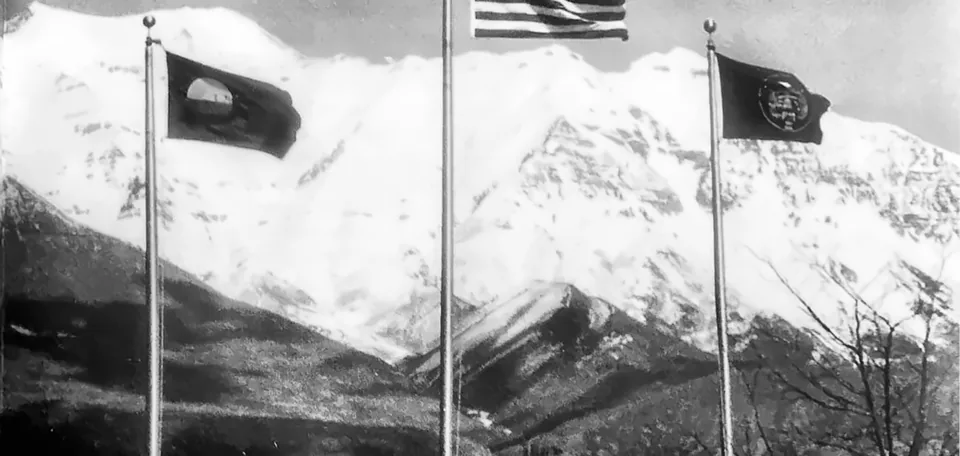
The Vineyard town flag, the United States flag and the Utah state flag near the town hall and park, looking toward Mount Timpanogos in 2000.
Geneva under construction below Mount Timpanogos, 1942
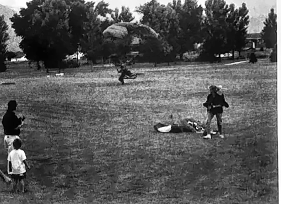
Parachuters land at the Vineyard Summer Celebration in 1998, a town tradition since 1989.
The Vineyard Town Office, 2009
The cement plant that built the mill, Geneva, 1942
Lake Side Power Plant on part of the former Geneva Steel site, 2008
The old Geneva land where the new downtown now rises, 2015
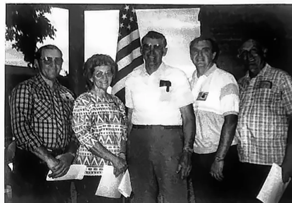
Vineyard's first town government in 1989: Mayor J Rulon Gammon with council members Grace Holdaway, Robert Holdaway, Stan Morris and Morris Clegg.
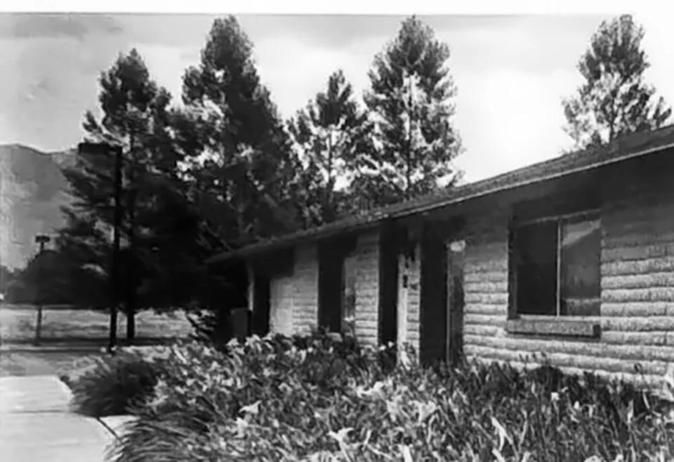
The Vineyard Town Hall in 1998, a former cabinet shop the young town bought and remodeled.
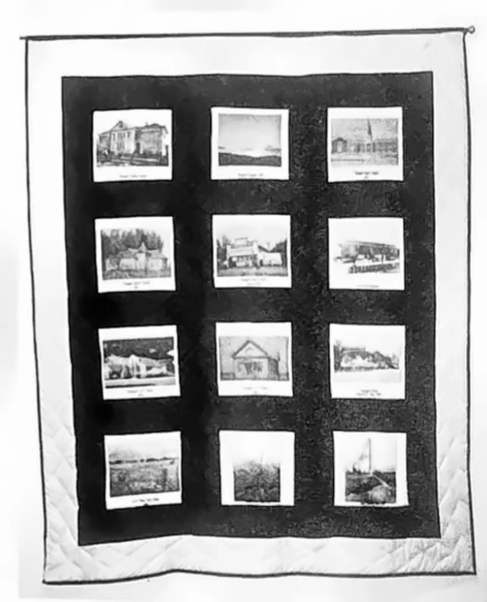
The Vineyard historical quilt, made in 1999 for the centennial of the Vineyard Ward, with blocks showing the community's landmarks.
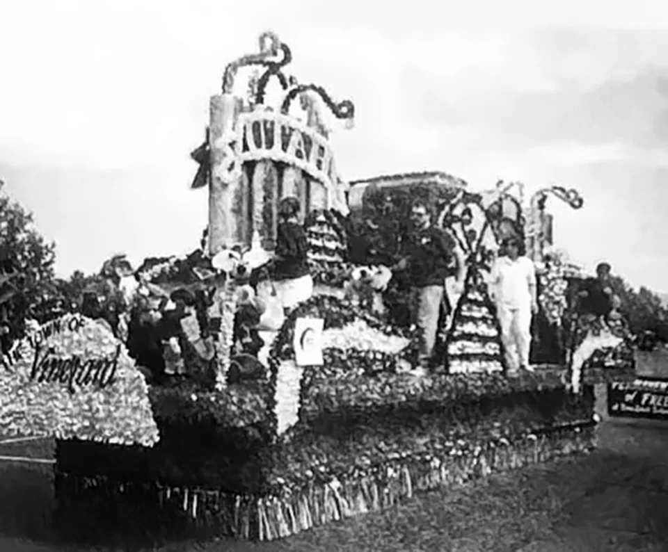
Vineyard's parade float in the Fourth of July Freedom Festival Parade in Provo, 1997.
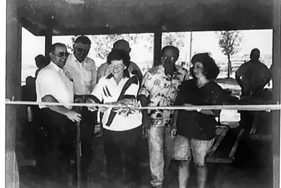
The Vineyard Town Council at the town park ribbon cutting ceremony in 1992.
Neighborhoods and the lakeshore trail beside Utah Lake
The UVU letters on campus, 2018
Vineyard station, August 2022
Utah Lake off Vineyard Beach
Gammon Park
Downtown Vineyard
The Vineyard lakeshore trail at sunset
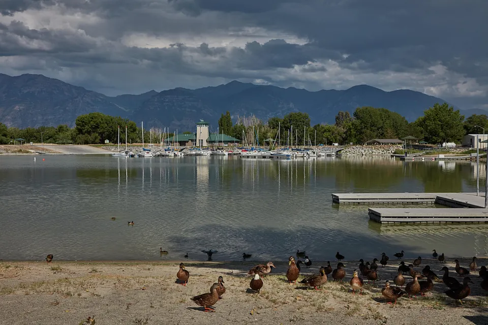
Ducks on the beach across from sailboats moored in the harbor at Utah Lake State Park in Provo, with the Wasatch Range behind.
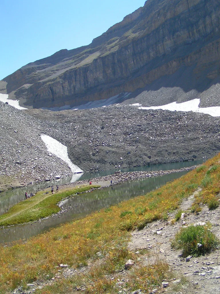
Emerald Lake below the Timpanogos glacier, the lake Utahna passes in some tellings of the legend, on the trail to the summit.
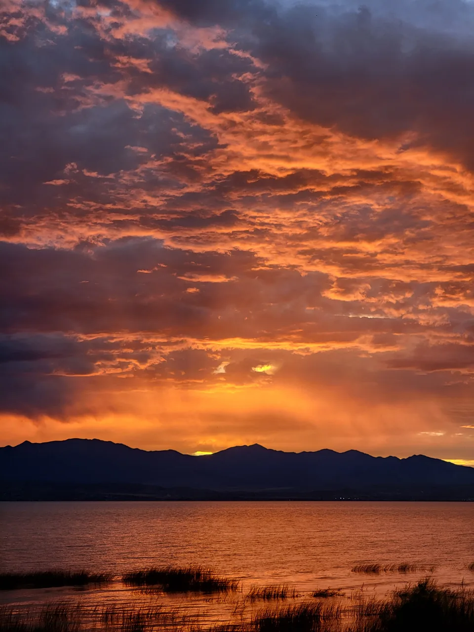
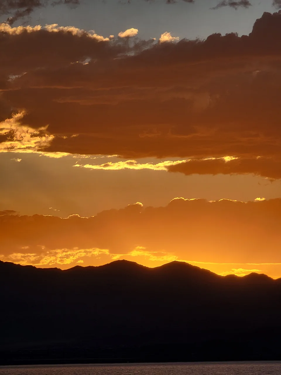
A fire red sky over Utah Lake, August 2023
The sun sets behind the Lake Mountains, August 2023
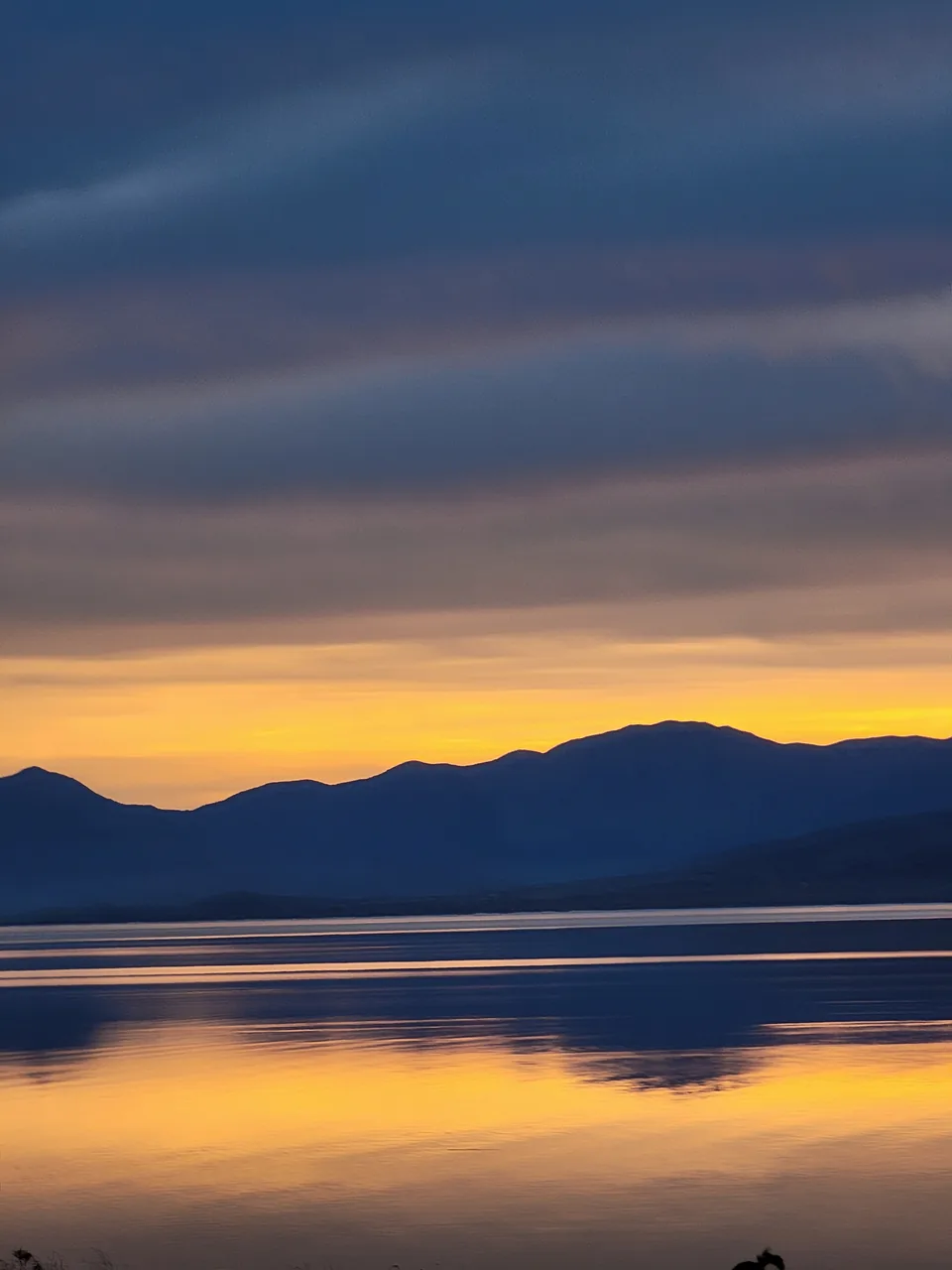
Dusk on Utah Lake, November 2023
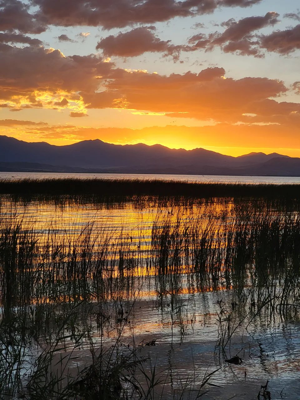
Reeds at the water's edge, Utah Lake, July 2023
Sunset over Utah Lake from Vineyard, July 2023
The Pleasant Grove Canning Company, 1919. In 1924 it took tomatoes from Vineyard farms.
A Provo farm's produce on display, 1909
Farmers load beet pulp for livestock feed at the Springville sugar factory
Fishing at the outlet of Utah Lake, about 1890
Center Street at Mill Road, Vineyard, June 2016
The Vineyard Connector bridge over the rail line, 2015
A FrontRunner train passes the future Vineyard station site, 2016
Geneva Road, 2018
The Megaplex at Geneva, with Larry H. Miller's name on the sign
North along the tracks from the future station, 2015
Snow on the future station site, 2016
FrontRunner tracks under Geneva Road, 2016
UVU's main campus, 2004
Vineyard Elementary School, 2016
Looking south from the Vineyard station site, 2015
Grading for the mill, Geneva, 1942
Threshing barley, Utah, 1940
Utah valley farms, 1941
Utah valley farms, 1940
Utah valley farms, 1941
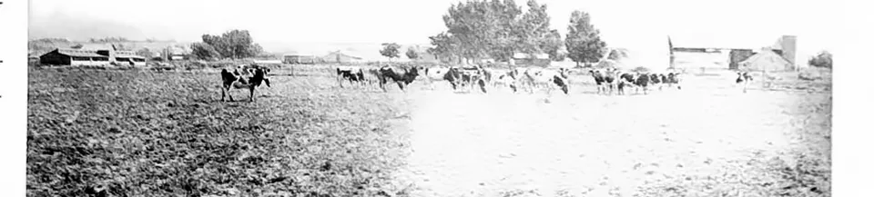
Dairy cows on a Utah valley farm, 1941
Brick kilns near the new mill, Geneva, 1942
The water intake tunnel, Geneva, 1942
Masonry for a battery of coke ovens, Geneva, 1942
Steel mill under construction, Geneva, 1942
A U.S. Steel sign left by the Geneva land, 2010
An elk skin tent of the Uinta Utes, 1874
A Ute girl on horseback, 1874, by John K. Hillers
The home of Ta-vah-puts, a chief of the Uinta Utes, 1874
Utah Lake State Park, near Provo, 2022
Utah Lake and the Wasatch Range, 2022
Penny Springs Park
The lakeshore at Sunset Beach Park
Vineyard Grove Park
Sunset on the Vineyard lakeshore
Digging the foundations at Geneva, 1942
A pioneer wagon train
Vineyard homes under Mount Timpanogos
The ladle roundabout by the Megaplex
The Megaplex at Geneva from above
A dryland farm in the mountains, Cache County, 1940
Utah valley farms, 1940
Spring pasture below the Uinta Mountains, Heber, 1941
Liberty ships like this were built from steel plate, including Geneva's.
The Robert E. Peary on launching day, Richmond, California, 1942
Launching day of the Liberty ship Robert E. Peary, Richmond, California, November 12, 1942